drawing, print, ink, pen, engraving
drawing
pen drawing
ink
pen
cityscape
engraving
Dimensions: height 221 mm, width 295 mm
Copyright: Rijks Museum: Open Domain
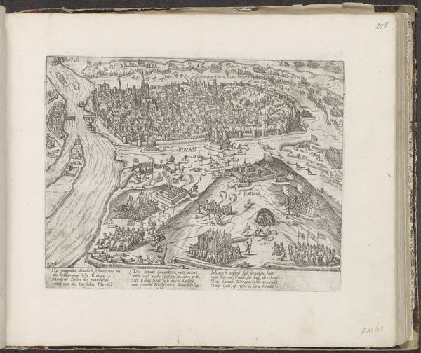
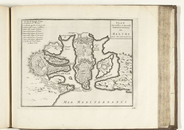
This is an anonymous 1726 map of Besançon, made with etching. At first glance, the linear precision delineating the city’s layout is striking. The monochromatic palette emphasizes structure and form, revealing a complex interplay of lines, shapes, and textures. The city, encased within geometric fortifications, appears as a semiotic system: its walls and roads acting as signs of power, control, and order. The landscape around Besançon, rendered with meticulous detail, seems to both protect and constrain the urban space. Note the river, which acts not only as a geographical feature but also as a symbolic boundary, its curves contrasting with the city’s rigid geometry. The map is more than a visual representation of space, it is a statement about the relationship between power, knowledge and representation. The map invites us to reflect on how we perceive, interpret, and ultimately construct our understanding of the world.
Comments
No comments
Be the first to comment and join the conversation on the ultimate creative platform.