print, engraving
# print
#
pen sketch
#
old engraving style
#
geometric
#
history-painting
#
engraving
Dimensions: height 231 mm, width 318 mm
Copyright: Rijks Museum: Open Domain
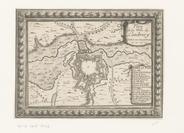
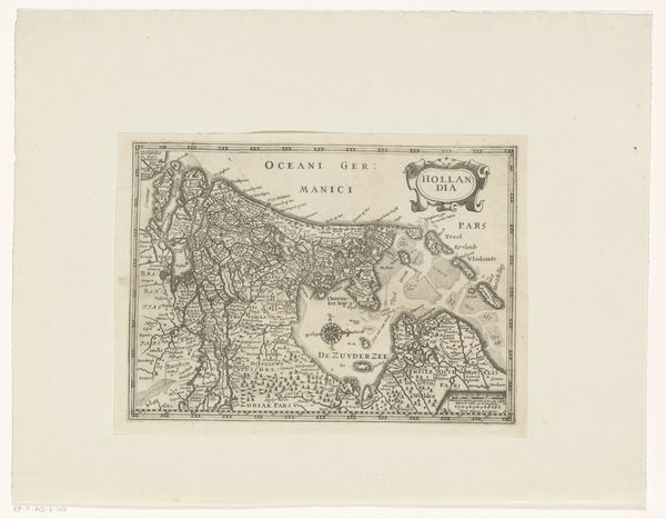
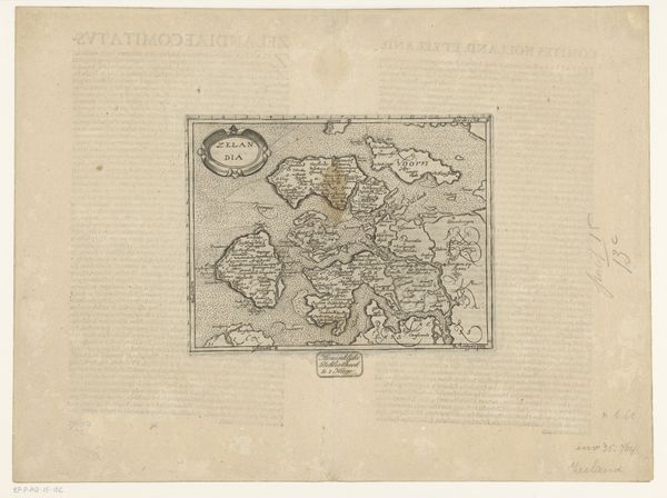
Curator: Pieter van der Keere created this map, titled "Kaart van het graafschap Vlaanderen," sometime between 1612 and 1648. It's an engraving. Editor: At first glance, the intricacy strikes me—all those delicate lines and the almost rhythmic pattern of the text. It feels less like a purely functional map and more like an elaborate visual composition. Curator: Maps, of course, are never neutral. They’re inherently about power. Cartography in the early modern period played a key role in establishing and maintaining territorial control. The meticulous detail would have served a political purpose—asserting ownership of and understanding of the landscape. Editor: Looking closely, there’s a real dynamism to the line work, a textural quality that defines land from sea. Notice how the sea is evoked with those repeating wave-like marks. There is depth despite the almost overwhelming details of topography. The ornamentation is an added compositional element too. Curator: Precisely! And those ships sailing the seas, they aren't merely decorative, they speak of mercantile power, trade routes, and the flow of capital across the region, something key to the history of the Dutch Golden Age. Flanders was critical. Also notice the text placements--they interact as integral elements of design rather than mere labels. Editor: You’re right. The ships contribute balance with that elaborate cartouche bearing the title "Flandria". Even the compass rose adds visual rhythm. Beyond its representational purpose, it possesses its own internal elegance. Curator: Thinking about van der Keere himself, placing him within his context helps inform our viewing of the work. His role in publishing houses connects the map to a much larger network of knowledge dissemination. These maps are about far more than location; it's an assertion of cultural capital. Editor: Well, whether read as social statement or artistic achievement, it certainly demonstrates how detailed craftwork of any era yields much fruit. I admit to enjoying getting lost within its pattern. Curator: Yes, and by exploring its rich history, we gain new understandings of how our geographic knowledge—even seemingly objective representations—are inherently infused with power and ideology.
Comments
No comments
Be the first to comment and join the conversation on the ultimate creative platform.
More like this