print, engraving
#
dutch-golden-age
# print
#
landscape
#
geometric
#
engraving
Dimensions: height 186 mm, width 258 mm
Copyright: Rijks Museum: Open Domain
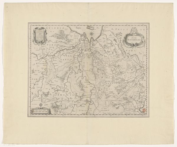
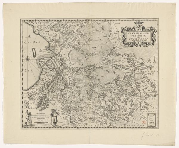
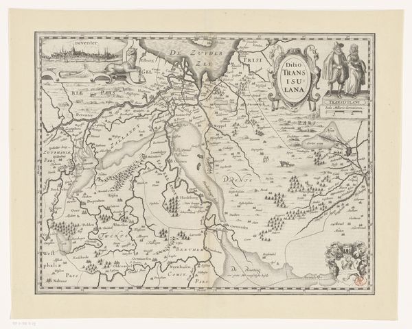
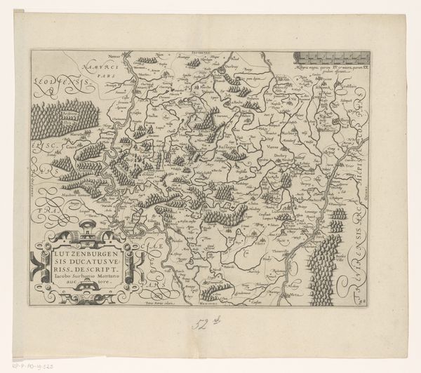
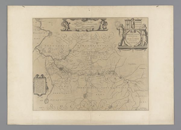
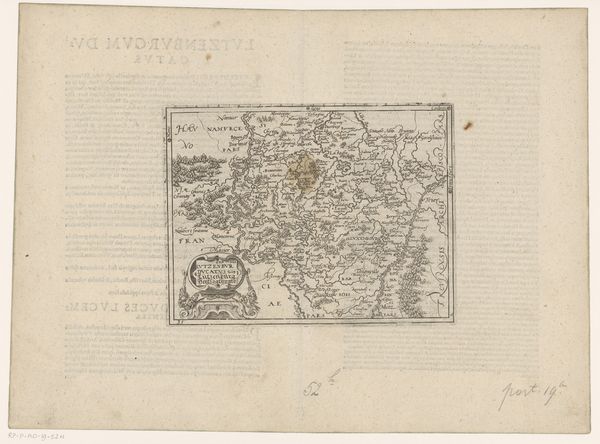
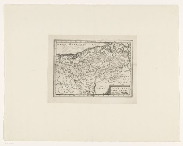
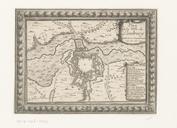
Pieter van der Keere made this map of the County of Holland. Cartography has always been about power, and the power to define space. In the early modern period, the Dutch Republic was rising as a major maritime and economic force, and maps like these were essential tools for navigation, trade, and asserting territorial claims. Van der Keere, active during the Dutch Golden Age, captures not just geography but also the spirit of exploration and mercantile ambition. Consider how this map flattens a complex world onto a single plane, how it privileges certain perspectives while omitting others. Maps are never neutral; they are always subjective interpretations of reality, imbued with the biases and agendas of their creators and commissioners. As you look at the map, reflect on the people who lived, worked, and traveled through this space. Think about the indigenous populations whose lands were being charted and claimed. Consider the lives and experiences erased by the seemingly objective gaze of cartography.
Comments
No comments
Be the first to comment and join the conversation on the ultimate creative platform.
