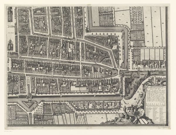
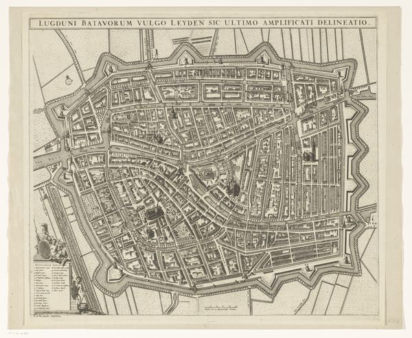
Plattegrond van de Kaart Figuratief van Delft (deel linksonder) 1678 - 1752
0:00
0:00
johannesderam
Rijksmuseum
drawing, print, ink, engraving
#
drawing
#
aged paper
#
dutch-golden-age
# print
#
ink
#
geometric
#
line
#
cityscape
#
engraving
Dimensions: height 470 mm, width 645 mm
Copyright: Rijks Museum: Open Domain
Editor: So, this is "Plattegrond van de Kaart Figuratief van Delft," by Johannes de Ram, dating from 1678 to 1752. It's a cityscape made with drawing, print, ink, and engraving. The precision is incredible! How would you interpret this detailed depiction, especially considering the labour involved? Curator: It's a fascinating object when we consider its production. The very act of engraving this map involved specialized labor, materials sourced through trade networks, and the intention of controlling and visualizing space. Consider the socioeconomic conditions of the engravers. What status did they hold in Delft’s society? Editor: That’s interesting! I never thought about it that way. I was mostly struck by how clearly everything is rendered in the map, almost photographic. How might the materiality of this print itself reflect the burgeoning merchant power of Delft at the time? Curator: Well, engraving allowed for the mass production and distribution of such images. This speaks to Delft’s commercial capabilities and the need to document, control, and distribute visual knowledge. Think about the paper itself – its quality and availability would be tied to specific trade routes and industries. Was this intended for practical use or perhaps for display by the merchant class, signifying their wealth and command? Editor: It seems like a symbol of status, showing the control merchants might have over the layout and organisation of their city. This gives the map a whole new level of social meaning, showing the labour involved but also how material was related to economy and class. Thanks! Curator: Indeed! Seeing it this way brings out how material production connects so profoundly to social standing.
Comments
No comments
Be the first to comment and join the conversation on the ultimate creative platform.
More like this