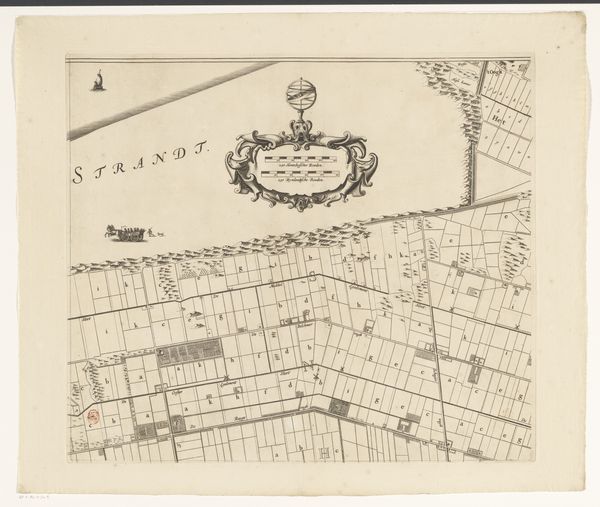
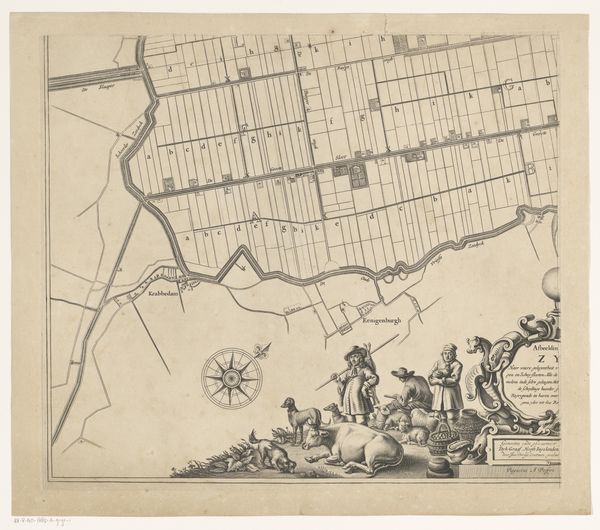
Kaart van de Zijpe- en Hazepolder (deel rechtsboven) 1665 - 1760
0:00
0:00
reiniervanpersijn
Rijksmuseum
graphic-art, print, engraving
#
graphic-art
#
dutch-golden-age
# print
#
old engraving style
#
landscape
#
geometric
#
line
#
history-painting
#
engraving
Dimensions: height 479 mm, width 544 mm
Copyright: Rijks Museum: Open Domain
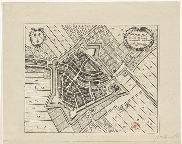
This is Reinier van Persijn's etched map of Zijpe- en Hazepolder. Notice the grid-like structure, symbolizing order and man's imposition on nature. Grids appear throughout history, from ancient Roman land surveys to modern city planning, each time embodying a desire to control and organize the environment. The map’s decorative cartouche, while seemingly ornamental, encapsulates deeper longings for harmony and control. These elements remind us of humanity’s continuous quest to understand and shape our world, a quest driven by both intellectual curiosity and a primal need for order. The appearance of a grid, as a motif of geometric, and social ordering, strikes the subconscious, evoking feelings of security, control, and perhaps, a subtle anxiety about confinement. The grid's recurrence underscores our persistent effort to structure existence. It's a cultural echo resonating across time.
Comments
No comments
Be the first to comment and join the conversation on the ultimate creative platform.
More like this