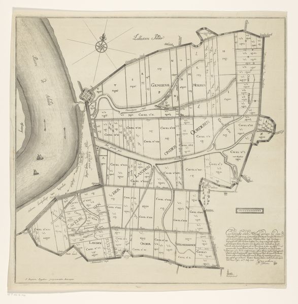
print, etching, engraving
dutch-golden-age
etching
landscape
geometric
cityscape
engraving
realism
Dimensions: height 466 mm, width 539 mm
Copyright: Rijks Museum: Open Domain
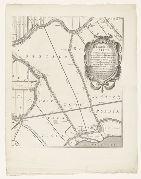
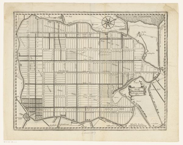
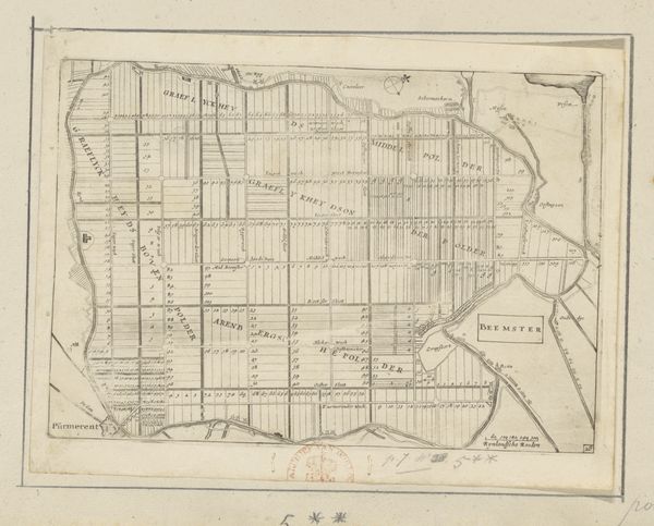
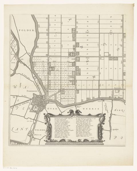
Editor: This is "Kaart met de kavels van de Starnmeerpolder, 1643," made after 1643, an etching and engraving. It depicts the Starnmeerpolder, and it has this amazing, almost unsettling, geometric precision to it. What do you make of its stark presentation? Curator: The map presents an attempt to organize and control nature, which becomes quite symbolic. Look at the rigid grid imposed upon the landscape. It speaks volumes about the Dutch Golden Age and its aspirations. Don’t you think that the sharp lines and ordered divisions also hint at a deeper cultural desire for mastery and progress? Editor: I do, but I hadn't thought about it like that! So, it’s more than just a map, but a reflection of their values. The way land is divided into plots reminds me of a similar attitude we find mirrored even in their domestic painting from that era. Curator: Exactly! Think about how these visual elements contribute to cultural memory. Maps, in this context, weren't just tools, they were statements of intent, almost a premonition of dominance over nature. What feelings arise when you consider this projection of power through imagery? Editor: I guess it gives me a slightly different perspective of how deeply intertwined our ideas can become within our symbols. Curator: It is precisely within those details, within the lines and divisions, that the psychological weight lies. The print allows us to understand their cultural mindset but also reminds us that imagery can shape both our perception and ambition. Editor: That makes a lot of sense. I’ll definitely think of maps differently now! Thanks.
Comments
No comments
Be the first to comment and join the conversation on the ultimate creative platform.