print, etching
#
dutch-golden-age
# print
#
etching
#
landscape
#
etching
#
geometric
Dimensions: height 455 mm, width 402 mm
Copyright: Rijks Museum: Open Domain
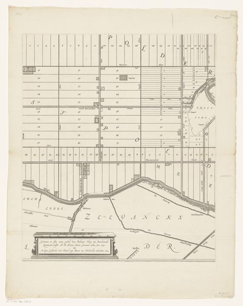
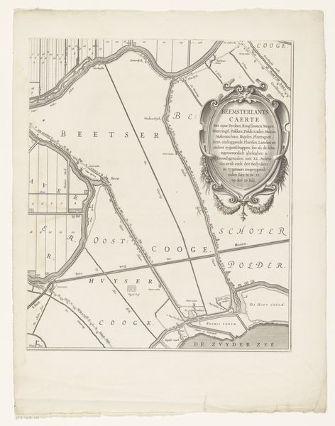
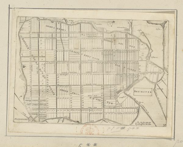
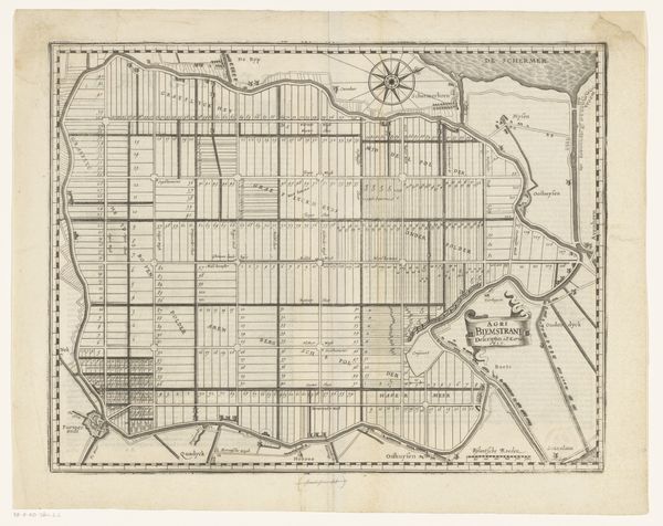
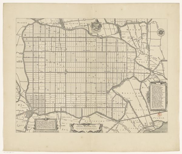
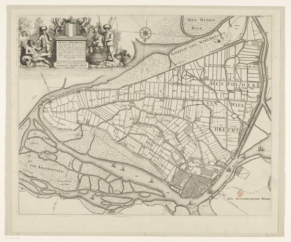
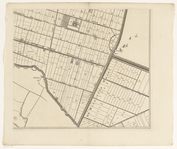
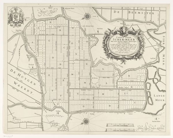
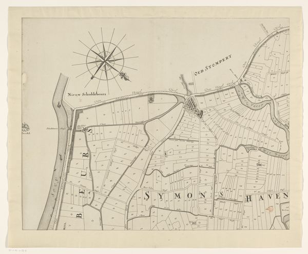
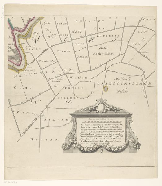
Curator: Looking at this etching, I immediately see a tension between meticulous order and the flowing organic forms that border it. Editor: Indeed. What we have here is a portion of a map, titled "Kaart van de Beemster," crafted between 1644 and 1685 by Daniël van Breen. It offers us a glimpse into the carefully planned landscape of the Beemster polder. Curator: Planned is the word! Those rigid squares seem to stretch into infinity. The almost clinical organization of it... Is this what it truly looked like? It feels so regimented. What's the emotional landscape here, beyond simple documentation? Editor: Well, it reflects the Dutch Golden Age’s ambitions and relationship with landscape. This was a time of great land reclamation projects, driven by economic necessity and national pride. It is a tool reflecting power; ownership parceled into geometric bites, as rational as enlightenment ideals can afford. The straight lines impose a man-made structure over nature. Curator: True, but perhaps it is the visual symbol of triumph! Seeing the Beemster polder laid out so starkly does evoke, for me, a feeling of mastery. I also sense an optimism here. It implies, that through this meticulous plan, prosperity and a future for the nation can be constructed, too. But these rigid forms also reveal a fear: fear of chaos, of the sea returning. The surrounding rivers and canals – the natural world, literally *outside* the lines, push inwards... Editor: An interesting reading. But keep in mind how such works also became a type of visual propaganda. Mapping itself was a political act, asserting control, not just representing terrain. It visually enforced societal hierarchies and the division of resources within the newly claimed land. The artistry framing the text does have symbolic aspirations beyond bare-boned geometry. Curator: Ah, I hadn't thought of it as a projection of ambition, but more a manifestation of deeply held social structures in the culture through a period in history! This etching serves as a fascinating intersection of artistic expression, historical document, and emotional landscape. Editor: Precisely. And, for me, what strikes most powerfully about this map, is that despite its apparent precision, its artistry transcends the merely functional. This merging reveals Dutch ambitions beyond controlling the landscape and invites reflection.
Comments
No comments
Be the first to comment and join the conversation on the ultimate creative platform.
