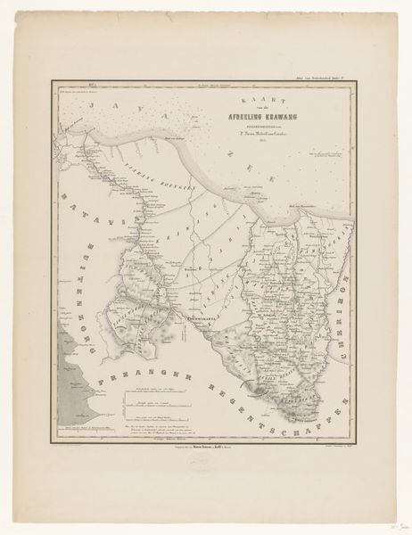
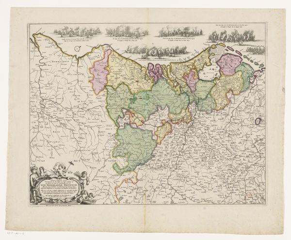
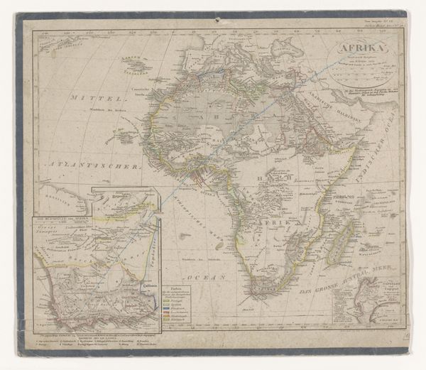
print, engraving
# print
#
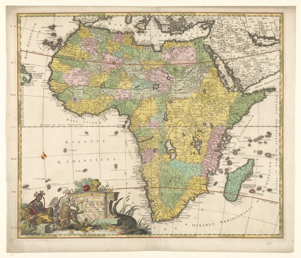
islamic-art
#
engraving
Dimensions: height 284 mm, width 364 mm
Copyright: Rijks Museum: Open Domain
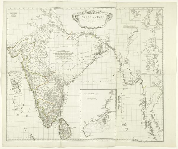
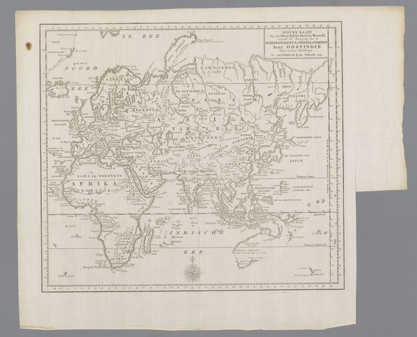
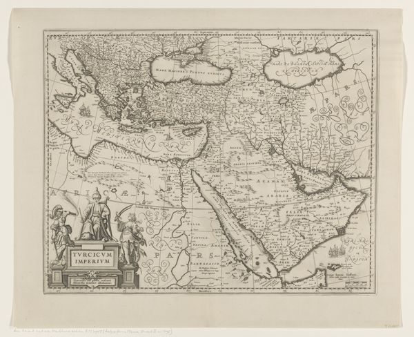
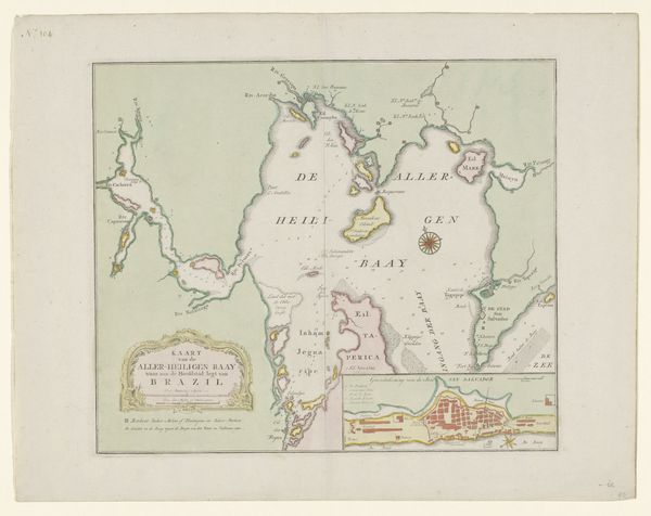
Editor: So, here we have "Kaart van India," a map of India by Jacob Keyser, dating back to sometime between 1730 and 1744. It's a print, an engraving, and it details the Indian subcontinent. What jumps out at me is the almost decorative quality given its informational purpose. What strikes you about this piece? Curator: The material tells the story, doesn't it? The printmaking process, the engraving specifically, speaks to mass production, to a demand for information fueling artistic endeavor. Consider the division of labor required: the cartographer, the engraver, the printer, the distributors. And then consider who this "information" actually served? Was it merchants, colonizers, or perhaps a burgeoning intellectual class in Europe eager to expand their worldview? Editor: That's a great point. It’s easy to forget the human element behind these seemingly objective documents. I'd just always thought of mapmaking as scientific, more math than art. Curator: Precisely! This challenges the notion of high art versus craft, right? The meticulous handwork of the engraver, transforming geographical data into a visually compelling object… isn’t that art? And what about the materials themselves? Paper, ink, the engraver's tools... Each has its own story, from its source to its manufacture and use, influencing the final product we see here. Where was this paper sourced? And what does its texture and durability tell us about its intended audience? Editor: Wow, I hadn't considered that. So, looking at art through the lens of its creation, its materials, and the social conditions surrounding it gives us a completely different understanding. I’ll never look at a map the same way again. Curator: Exactly! Thinking about art's materiality opens up so many avenues for exploring history, labor, and even the beginnings of globalized consumption. It shifts the focus from solely aesthetic judgment to a more holistic understanding.
Comments
No comments
Be the first to comment and join the conversation on the ultimate creative platform.
More like this