graphic-art, print, etching, engraving
#
graphic-art
# print
#
etching
#
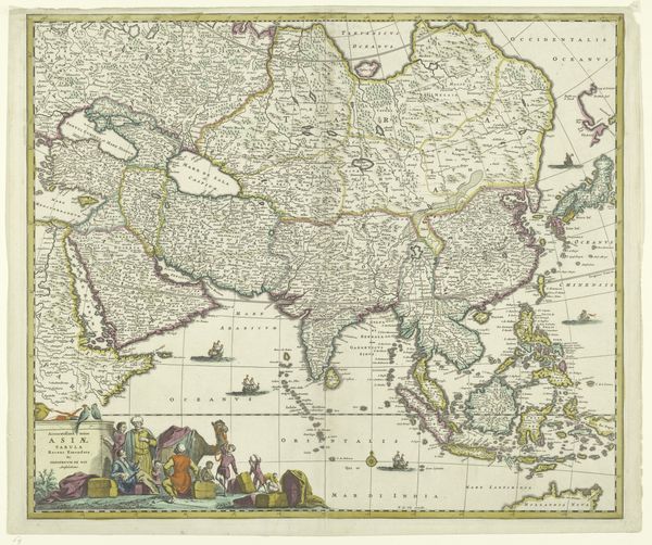
asian-art
#
etching
#
engraving
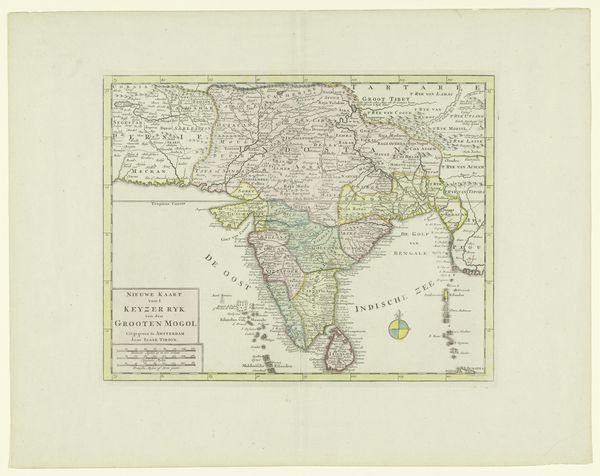
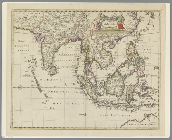
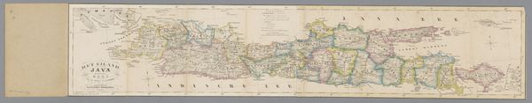
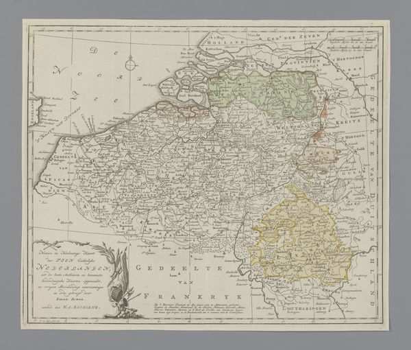
Dimensions: height 553 mm, width 647 mm
Copyright: Rijks Museum: Open Domain
Jan Barend Elwe created this map of South Asia, now held in the Rijksmuseum, using engraving techniques. The structure of the map is immediately striking, with its delicate balance between the landmasses and surrounding seas. The various regions are delineated by soft pastel hues of pink, yellow, and green, creating a patchwork effect that is both informative and aesthetically pleasing. The use of line is particularly noteworthy. Fine, intricate lines define the coastlines, rivers, and borders, giving a sense of precision and detail. This cartographic representation is not merely a neutral depiction of geography; rather, it is a constructed image that reflects the contemporary European understanding of South Asia, colored by colonial interests and cultural perceptions. The act of mapping itself is an assertion of power. Consider the way place names and political divisions are inscribed onto the land, turning the physical space into a canvas for imposing a particular order and narrative. This map serves as a reminder that even seemingly objective representations are embedded with layers of ideology and interpretation.
Comments
No comments
Be the first to comment and join the conversation on the ultimate creative platform.
More like this