#
pen sketch
#
personal sketchbook
#
sketchwork
#
ink drawing experimentation
#
pen-ink sketch
#
pen work
#
sketchbook drawing
#
watercolour illustration
#
storyboard and sketchbook work
#
sketchbook art
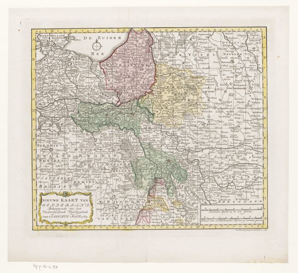
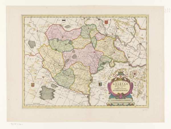
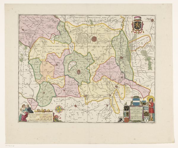
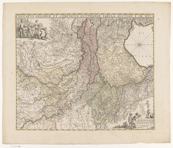
Dimensions: height 525 mm, width 645 mm
Copyright: Rijks Museum: Open Domain
This is a map of the Netherlands, made anonymously around 1672-73, recording the military situation at that time, and printed on paper. The physical qualities of the map—its lines, colours, and textures—weren’t achieved through freehand drawing. Instead, it was produced using the method of etching, an intaglio printmaking technique that uses chemical action to produce incised lines in a metal plate, which then hold the applied ink and transfers to the paper. This process allowed for multiple copies to be produced, aiding in the wide dissemination of information. The detailed etching work allowed for very precise lines and text, essential for cartography. This reflects an ambition to represent the world with accuracy, but also to wield power over it, through the very act of mapping. The multiple stages of production—the engraver, the printer, and the publisher—speaks to the burgeoning capitalist networks that were transforming Europe at this time. Looking at the map, therefore, is not only an exercise in geography or history. It's a way to understand how materials, making, and social context all contribute to the meaning of an artwork.
Comments
No comments
Be the first to comment and join the conversation on the ultimate creative platform.
More like this