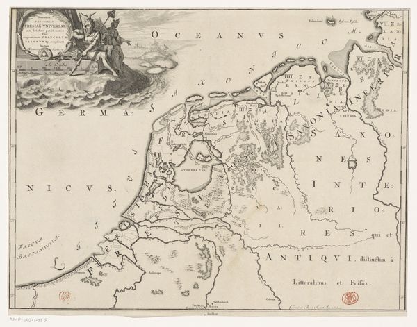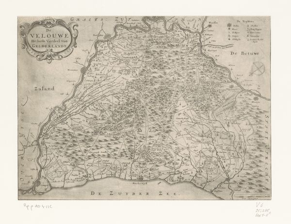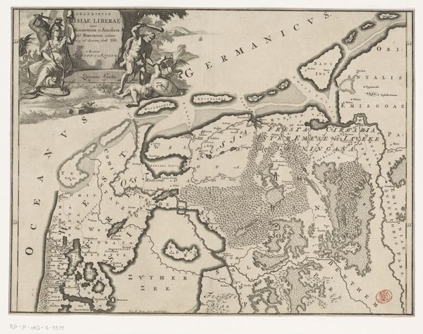
1697 - 1725
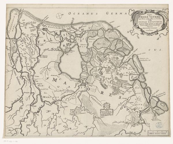
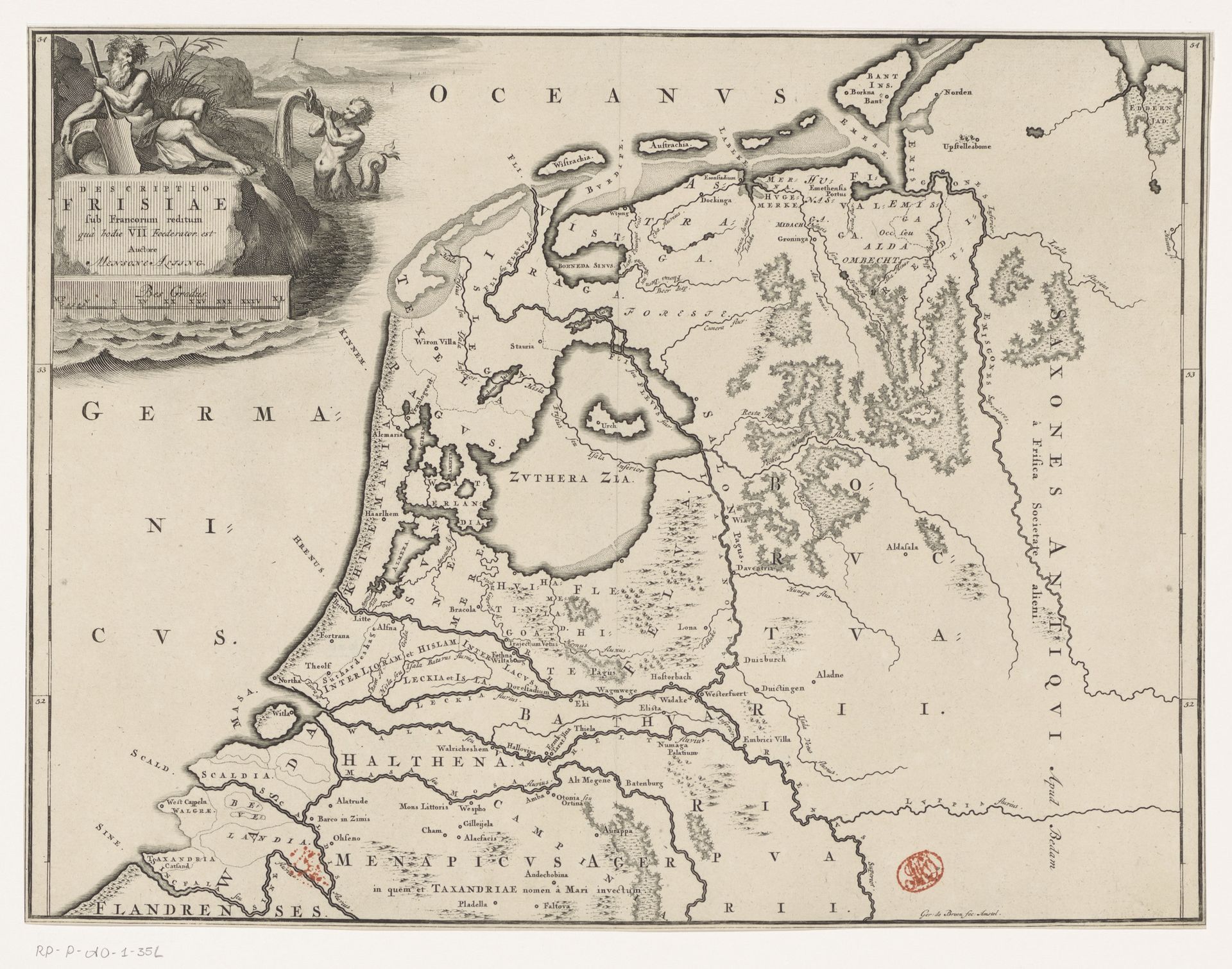
Historische kaart van Nederland met de gebieden van de Bataven en Friezen
Listen to curator's interpretation
Curatorial notes
Gerrit de Broen created this historical map of the Netherlands with the regions of the Batavi and Frisians using engraving. The map is dominated by a network of fine, incised lines that articulate geographical boundaries, rivers, and settlements. These lines, stark against the paper, create a complex visual texture. De Broen uses a semiotic system of signs to denote territories and topographical features, reflecting the historical and cultural codes of cartography. The map is more than a geographical tool, it reflects the power structures of the time, marking out territories and jurisdictions with precision. The neat ordering of space suggests a desire to categorize and control the known world, imbuing the land with layers of political and cultural meaning. This engraving serves as a reminder that maps are not neutral representations, but constructed images that actively shape our understanding of space and identity.