drawing, paper, ink
#
drawing
#
dutch-golden-age
#
landscape
#
paper
#
ink
#
cityscape
Dimensions: height 510 mm, width 680 mm
Copyright: Rijks Museum: Open Domain
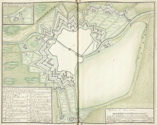
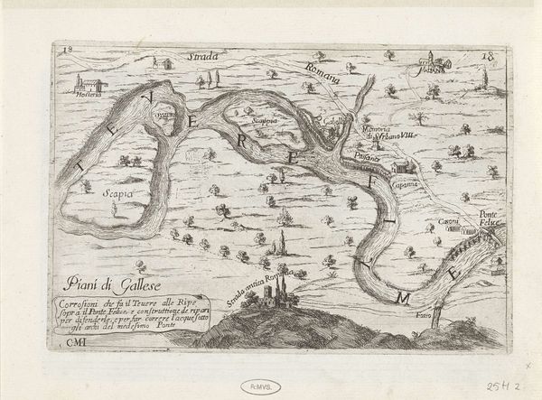
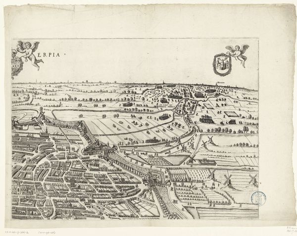
This is a map of Nijmegen and its surroundings, created by Samuel Du Ry de Champdoré sometime between 1701 and 1715. During this time, maps were not just geographical tools; they were also instruments of power, reflecting and reinforcing the political and military strategies of the Dutch Republic. Champdoré, as a cartographer, was deeply embedded in the socio-political landscape of his time. His identity as a surveyor for the military shaped his perception and representation of space. Notice the detailed fortifications and strategic positioning along the Waal River. The meticulous depiction of these defensive structures speaks to the constant state of alert and the ever-present threat of invasion during this period. The map isn't merely a depiction of land and water; it embodies a narrative of defense, control, and national identity. Consider how this map would have been viewed and used by military officials versus the local population. What did it mean to have one's home and land represented in such a strategic, potentially volatile context?
Comments
No comments
Be the first to comment and join the conversation on the ultimate creative platform.
More like this