print, etching, engraving
baroque
etching
landscape
etching
cityscape
decorative-art
engraving
Dimensions: height 314 mm, width 395 mm
Copyright: Rijks Museum: Open Domain
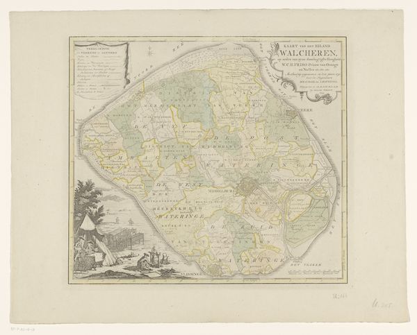
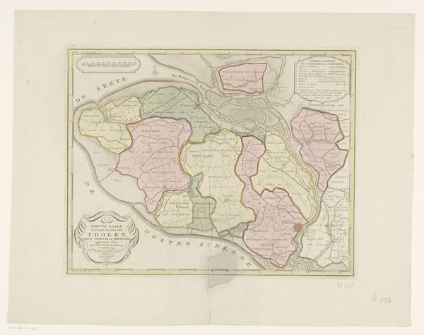
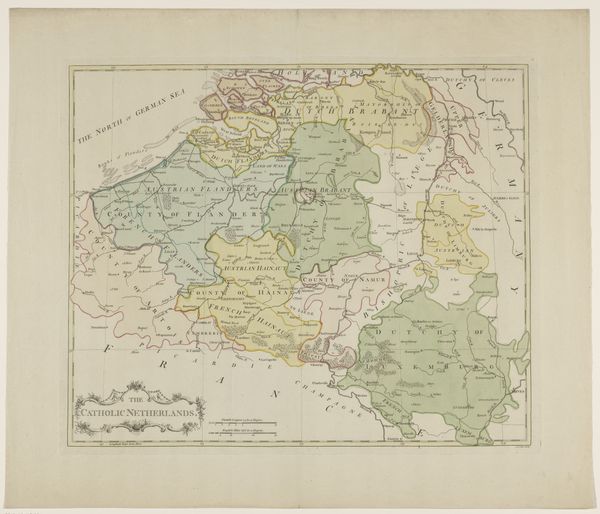
This map of the islands of Noord-Beveland, Wolphaatsdijk, and Oost-Beveland was made using ink and watercolor on paper. The lines are crisp and precise, suggesting the use of engraving, and the subtle washes of color add depth and clarity to the geographical information. But this isn't just an aesthetic achievement; it's a testament to the power of craftsmanship in service of social control. Consider the labor involved: from the initial surveying and data collection to the skilled hands of the engraver and colorist. Maps like these were crucial for governance, trade, and military strategy. They represent a form of power, visualizing and codifying territory for administrative purposes. The very act of mapping transforms the landscape into a commodity, a resource to be managed and exploited. This map invites us to consider the intersection of art, science, and politics. By examining the materials and techniques used in its creation, we gain insight into the social and economic forces that shaped its production.
Comments
No comments
Be the first to comment and join the conversation on the ultimate creative platform.