drawing, print, etching, paper
#
drawing
#
neoclacissism
# print
#
etching
#
landscape
#
paper
#
geometric
Dimensions: height 235 mm, width 373 mm
Copyright: Rijks Museum: Open Domain
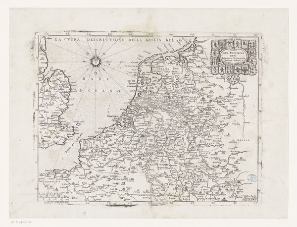
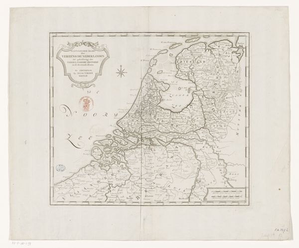
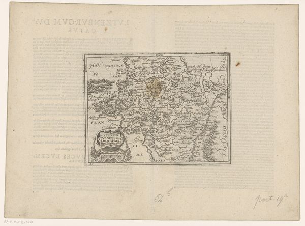
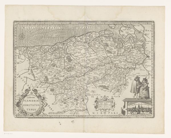
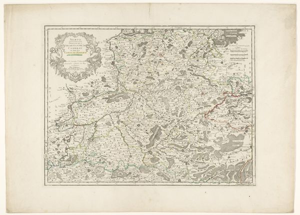
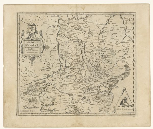
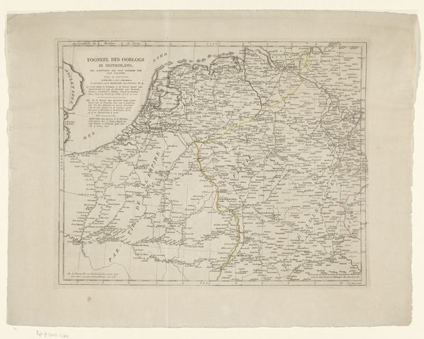
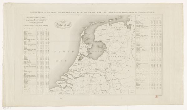
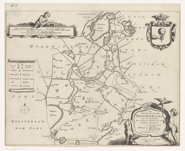
This map of Amstelland, Maasland and Utrecht, was made by Cornelis van Baarsel. The map is an engraving, and its fine lines and level of detail speak to the skill of the printmaker. The process begins with an image incised into a metal plate, traditionally copper. Ink is then applied to the plate, filling the etched lines, and the surface is wiped clean. Paper is laid on the plate, and then run through a press. The high pressure forces the paper into the inked grooves, transferring the image. In the 18th and 19th centuries, prints were a key means of circulating information. Maps like these supported the growth of trade and governance, allowing the rising middle class to picture their world. A collaborative endeavor, it involved not just the artist, but the publisher, distributors, and ultimately, the consumer. This speaks to the way maps not only represent territory, but participate in wider systems of labor, capital and consumption.
Comments
No comments
Be the first to comment and join the conversation on the ultimate creative platform.
More like this