print, engraving
#
dutch-golden-age
# print
#
perspective
#
geometric
#
line
#
cityscape
#
engraving
Dimensions: height 548 mm, width 651 mm
Copyright: Rijks Museum: Open Domain
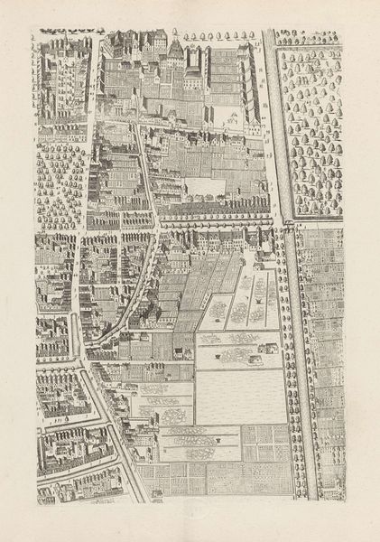
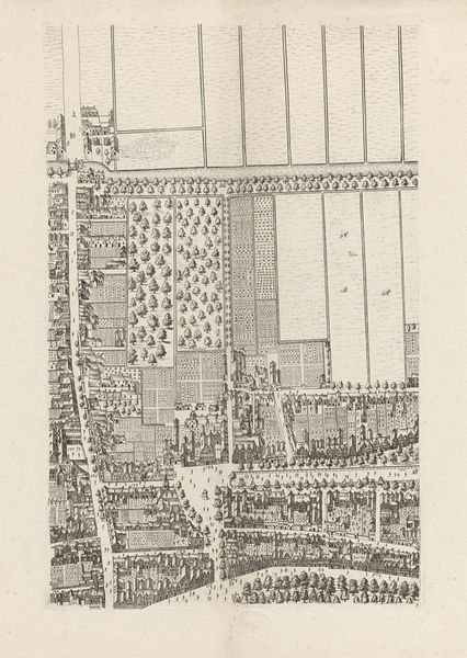
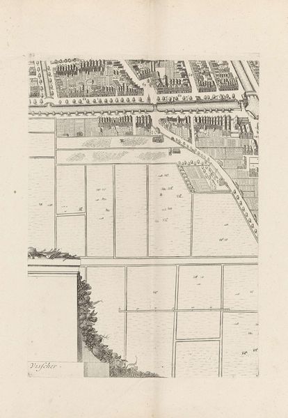
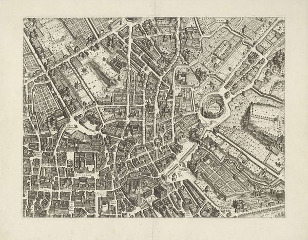
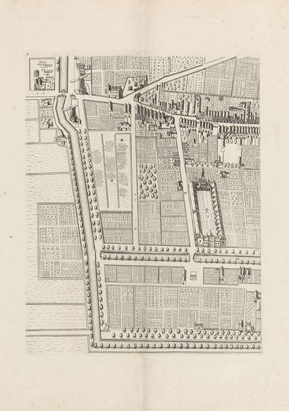
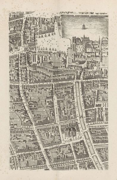
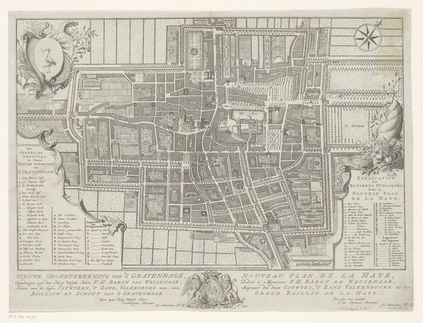
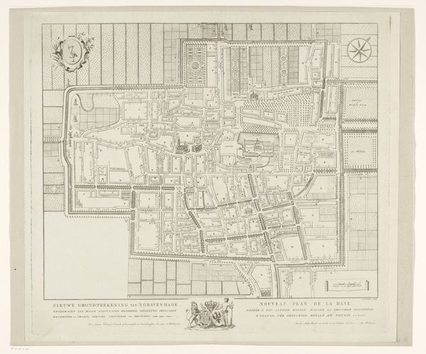
Cornelis Elandts produced this section of a city plan of The Hague, in the Netherlands, sometime in the second half of the 17th century, using engraving. This detailed map gives us a bird's-eye view of the city's layout, revealing much about Dutch society at the time. We can observe the structured organization of urban space, reflecting a culture deeply rooted in commerce and social order. The image suggests a society valuing both aesthetic appeal and functional design, evident in the neat arrangements of buildings, gardens and streets. Made during the Dutch Golden Age, a period marked by significant economic growth, cultural achievements, and colonial expansion, this map also hints at the influence of these factors on urban development. Historical archives and municipal records can help us understand how The Hague grew and adapted during this dynamic era. This map acts as a lens, focusing on the tangible aspects of daily life and institutional history that shaped this society.
Comments
No comments
Be the first to comment and join the conversation on the ultimate creative platform.
More like this