drawing, print, etching, ink
#
drawing
#
dutch-golden-age
# print
#
etching
#
landscape
#
ink
#
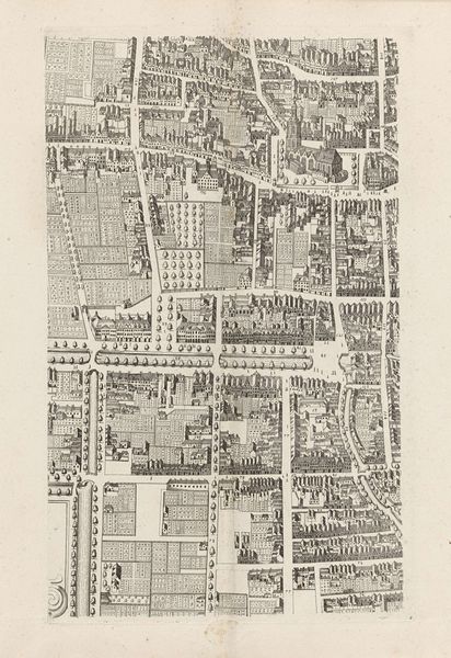
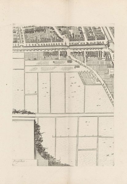
cityscape
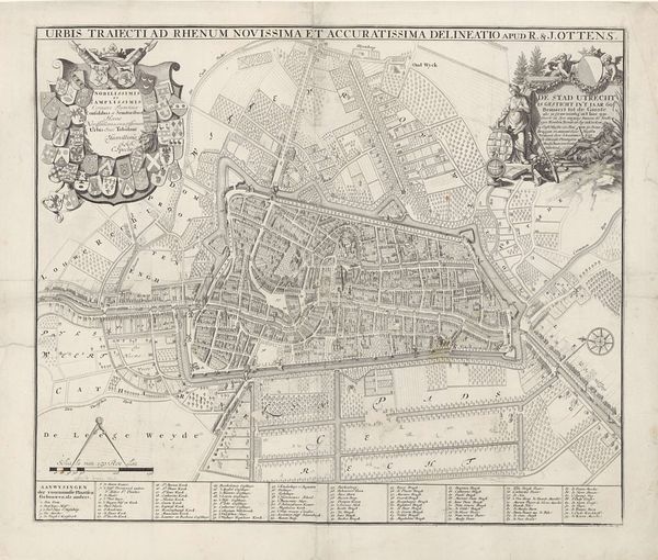
Dimensions: height 548 mm, width 651 mm
Copyright: Rijks Museum: Open Domain
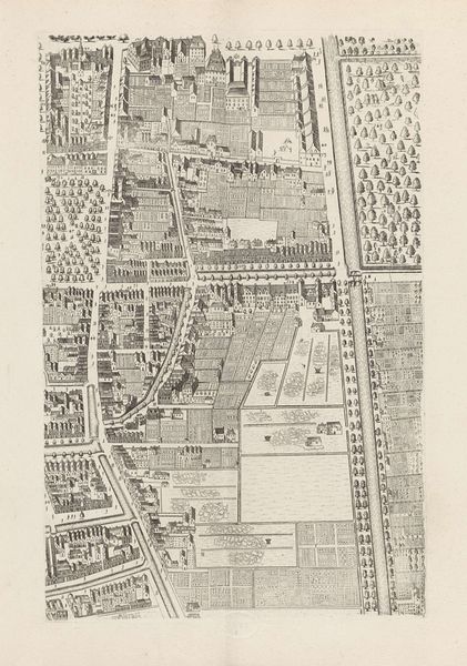
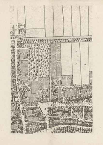
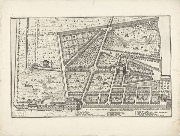
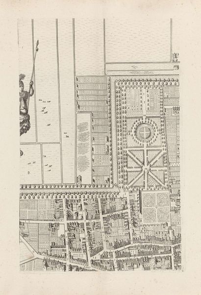
Cornelis Elandts made this map of The Hague as an engraving sometime in the late 17th century. Maps are rarely neutral documents, and this plan of The Hague is no exception. The emphasis here is on order and prosperity. Note the regimented rows of buildings, the manicured gardens, and the imposing architecture. By the 17th century, The Hague was the political center of the Dutch Republic, but it was not officially a city. We might see this map, then, as a kind of aspirational document, one that implicitly makes the case for The Hague's importance and sophistication. This was the Dutch Golden Age, a time of tremendous economic and cultural growth, but also one of social stratification. Maps like this one offer a selective view of the urban landscape. It would be interesting to compare this image with other kinds of archival documents, like tax records or census data, that might give us a fuller picture of life in The Hague at this time.
Comments
No comments
Be the first to comment and join the conversation on the ultimate creative platform.
More like this