drawing, print, paper, ink, engraving
#
drawing
#
baroque
#
dutch-golden-age
# print
#
paper
#
ink
#
geometric
#
cityscape
#
engraving
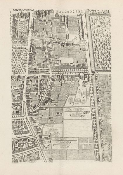
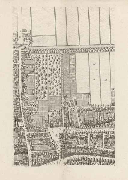
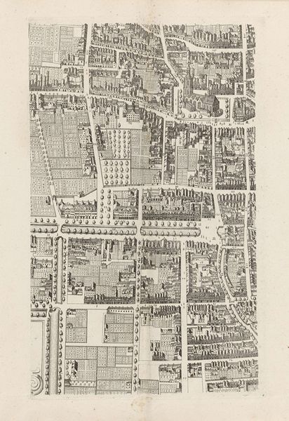
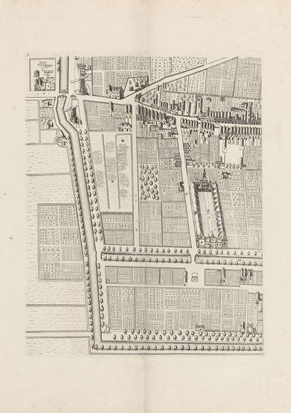
Dimensions: height 548 mm, width 651 mm
Copyright: Rijks Museum: Open Domain
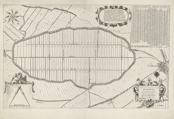
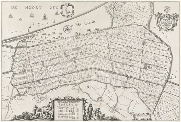
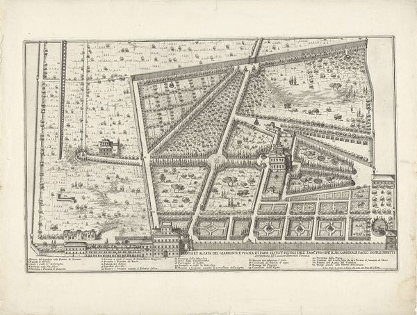
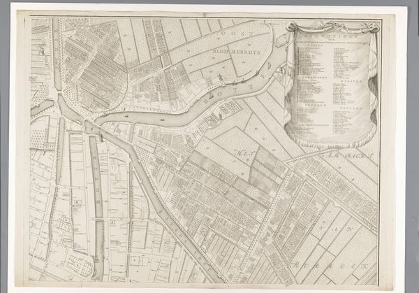
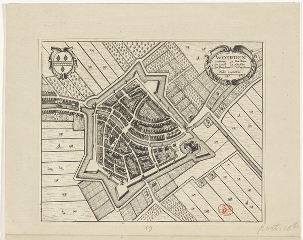
Cornelis Elandts created this map of The Hague, likely sometime in the latter half of the 17th century, using etching. Look closely, and you can appreciate the etcher's skill: the way he describes urban form with tightly clustered marks, contrasting to the open, ruled lines that denote agricultural fields. The social order of the time is embedded in these graphic choices. The concentration of labor within the city walls contrasts sharply with the vast open spaces beyond, reflecting the economy of the time. Consider too the distribution of this printed map. It was made possible by the printing press, the original technology of mass production, and intended for wide circulation. Maps like these were crucial to the growth of cities. More than just a representation, this is a tool of planning and control. The value of this etching lies in its detailed depiction, yes, but also in its direct connection to labor, technology, and social structure. It invites us to consider how these forces shape our world, literally.
Comments
No comments
Be the first to comment and join the conversation on the ultimate creative platform.
More like this