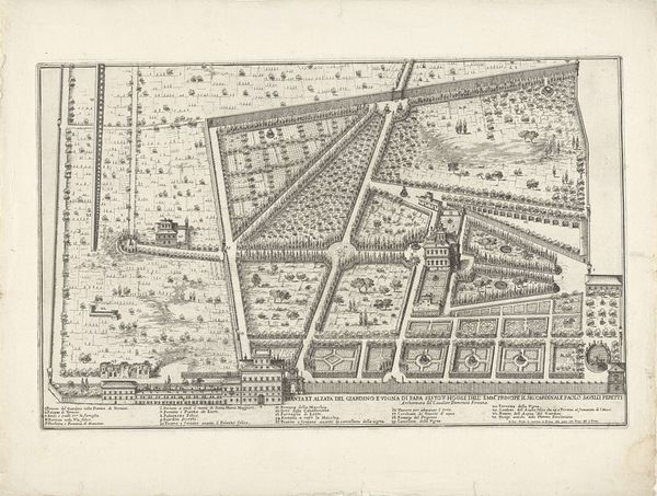
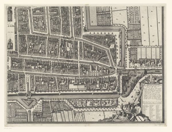
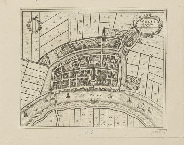
drawing, print, engraving
#
drawing
#
baroque
# print
#
landscape
#
geometric
#
cityscape
#
engraving
Dimensions: height 548 mm, width 651 mm
Copyright: Rijks Museum: Open Domain
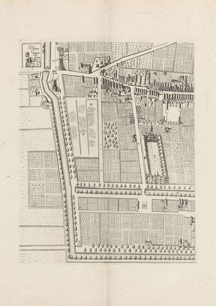
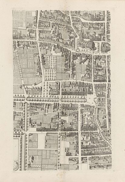
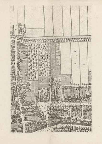
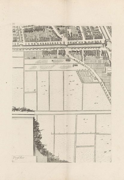
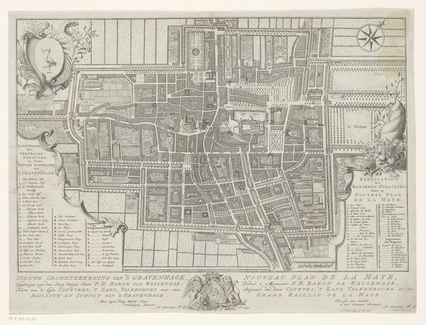
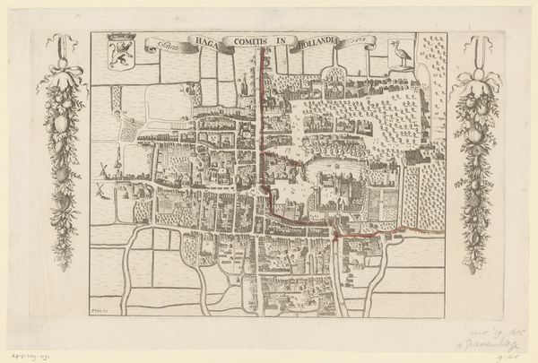
Cornelis Elandts created this map of The Hague with ink on paper sometime between 1641 and 1687. The image is an etching, a printmaking technique that relies on the corrosive action of acid to create lines in a metal plate. The artist covers a metal plate with a waxy, acid-resistant substance, then scratches an image into the wax. When the plate is dipped in acid, the exposed metal is eaten away, creating recessed lines that hold ink. The whole plate is inked, the surface wiped clean, and the print is made. The real artistry lies in controlling the pressure and timing of the acid bath, allowing for fine lines and tonal variations. You can see how Elandts varied the density of the lines to create a sense of depth and detail. This method allowed for relatively quick replication, at a time when maps were increasingly vital to trade, military strategy, and civic administration. So, next time you see a print, remember the hands-on processes that produced it, blurring the boundaries between art, craft, and the machinery of early capitalism.
Comments
No comments
Be the first to comment and join the conversation on the ultimate creative platform.
More like this