print, engraving
#
baroque
#
dutch-golden-age
# print
#
pen illustration
#
old engraving style
#
ink line art
#
geometric
#
line
#
pen work
#
history-painting
#
engraving
#
calligraphy
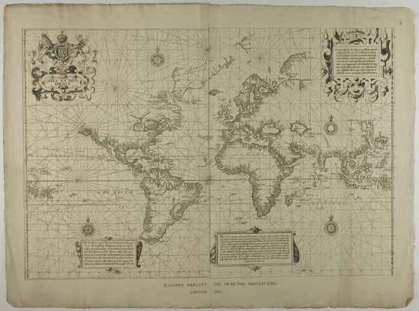
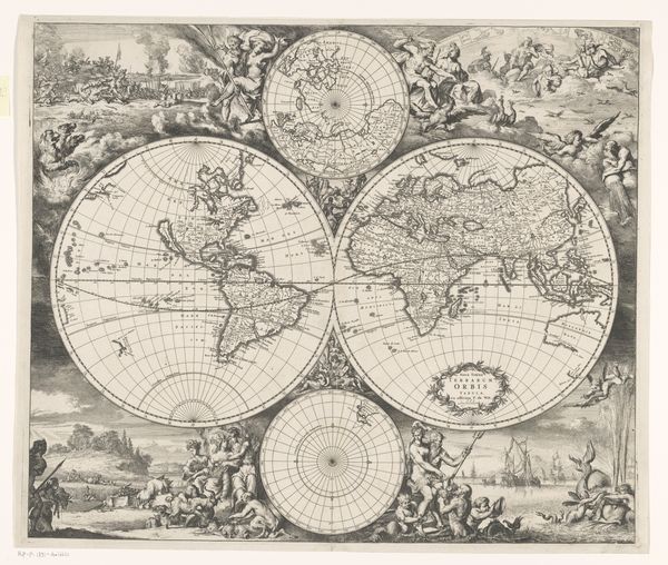
Dimensions: height 401 mm, width 473 mm
Copyright: Rijks Museum: Open Domain
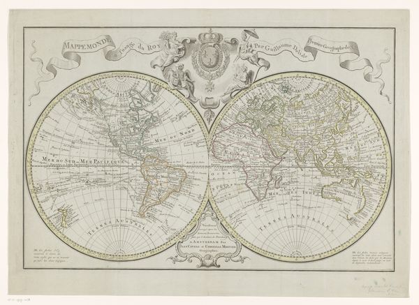
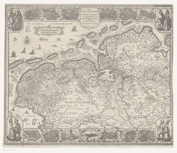
This is Johannes L. van Luchtenburg’s map of the world. It was etched in the Netherlands, likely during the height of the Dutch Golden Age, a period of unprecedented global trade. The map isn't just a geographical document, it’s also a cultural artifact, reflecting the worldview of its time. Notice the dual languages, French and Dutch, mirroring the Netherlands' role as a crucial link between European powers and the wider world. Consider the detailed coastlines versus the vaguely defined interiors of continents like Africa; this wasn’t just down to a lack of geographical knowledge, but says something about the priorities of Dutch traders and colonizers. Historical maps like this offer us a glimpse into how the world was understood and, in turn, shaped by those in power. By consulting archives, trade records, and colonial documents, we can decipher the cultural encoding embedded in this image. The map is a reminder that even seemingly objective representations of the world are steeped in social and institutional context.
Comments
No comments
Be the first to comment and join the conversation on the ultimate creative platform.
More like this