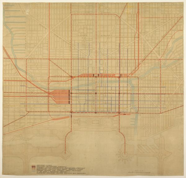
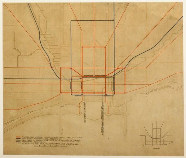
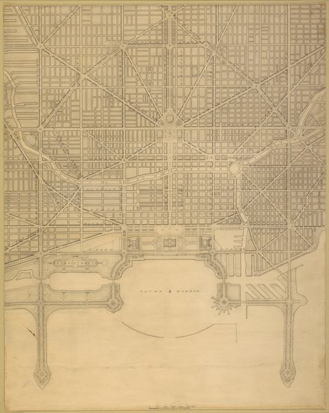
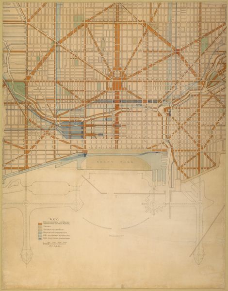
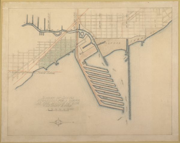
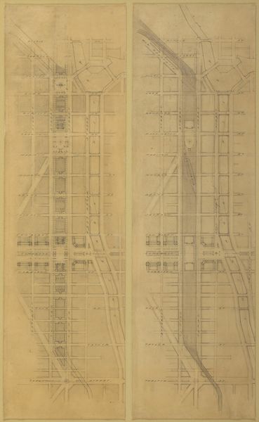
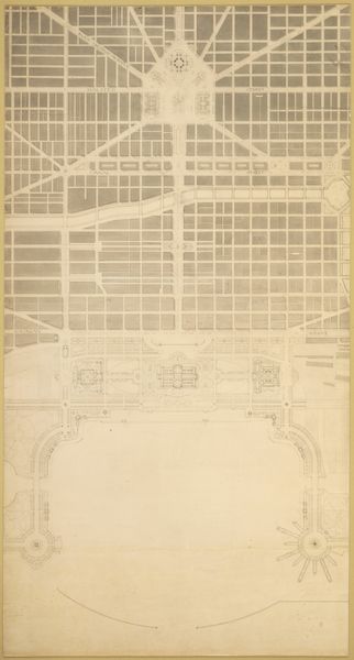
Plate 74 from The Plan of Chicago,1909: Chicago. Diagram of the City Center, Showing the General Location of Existing Freight Yards and Railroad Lines, the Present Tunnel System and Proposed Circuit, and Connections for all these Services, Running to the Central Clearing Yards. 1909
0:00
0:00
drawing, ink, architecture
#
drawing
#
ink
#
geometric
#
architectural drawing
#
cityscape
#
modernism
#
architecture
Dimensions: 101.9 × 106.7 cm (40 × 42 in.)
Copyright: Public Domain
Daniel Hudson Burnham made this diagram of the city center of Chicago in 1909 as part of The Plan of Chicago. The Plan emerged during the City Beautiful movement, which advocated for urban beautification, but we can also see it as a projection of power and control. In the early 20th century, Chicago was a rapidly growing industrial metropolis, and this diagram reflects the city’s intense organization of labor and resources, which often involved the exploitation of immigrant communities and the working class. Burnham’s vision represents an attempt to impose order onto a diverse and dynamic urban environment. What does it mean to map a city, to define its boundaries and prescribe its future? This diagram invites us to consider the social implications of urban planning and whose interests are prioritized in the shaping of our cities. It challenges us to reflect on the relationship between urban development, social equity, and the lived experiences of those who inhabit these spaces.
Comments
No comments
Be the first to comment and join the conversation on the ultimate creative platform.
More like this