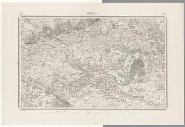
print, etching
#
dutch-golden-age
# print
#
etching
#
landscape
#
etching
Dimensions: height 672 mm, width 970 mm
Copyright: Rijks Museum: Open Domain
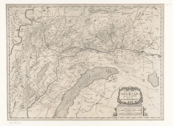
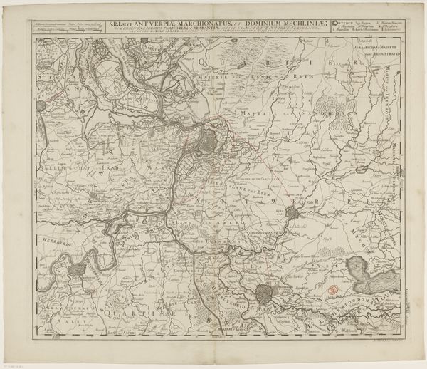
This map of Zeeuws-Vlaanderen, created by various makers, presents a detailed view of the region’s waterways and settlements. Water, the dominant symbol here, is not merely a geographical feature; it's a fluid boundary, both connecting and dividing communities. Think of the serpent, the Ouroboros, an ancient symbol of a snake eating its tail, representing the cyclical nature of life, death, and rebirth. Water, like the serpent, embodies this eternal return. In ancient Egyptian cosmology, the Nile was seen as the very source of life, its annual floods bringing fertility and renewal to the land. Similarly, the waterways in this map dictate the rhythms of life for the people of Zeeuws-Vlaanderen. The emotional undercurrent here is the tension between control and surrender. The cartographer attempts to tame the wildness of nature through precise lines and measurements, yet the water persists, a reminder of nature’s untamable force. The ebb and flow of tides, the constant reshaping of coastlines—these are visual metaphors for the ceaseless flux of human affairs.
Comments
No comments
Be the first to comment and join the conversation on the ultimate creative platform.
More like this