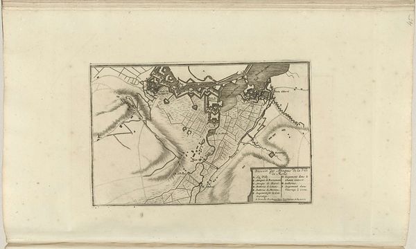
print, engraving
#
baroque
# print
#
cityscape
#
engraving
Dimensions: height 418 mm, width 465 mm
Copyright: Rijks Museum: Open Domain
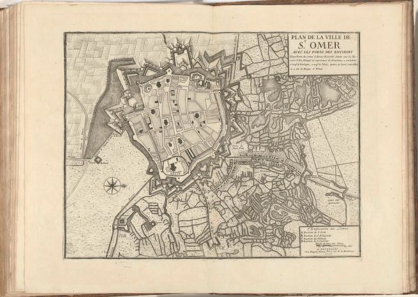
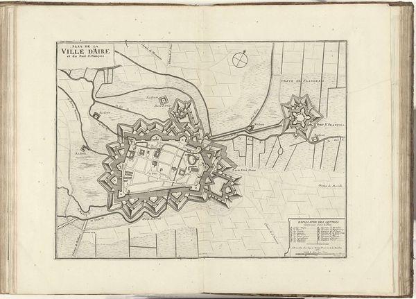
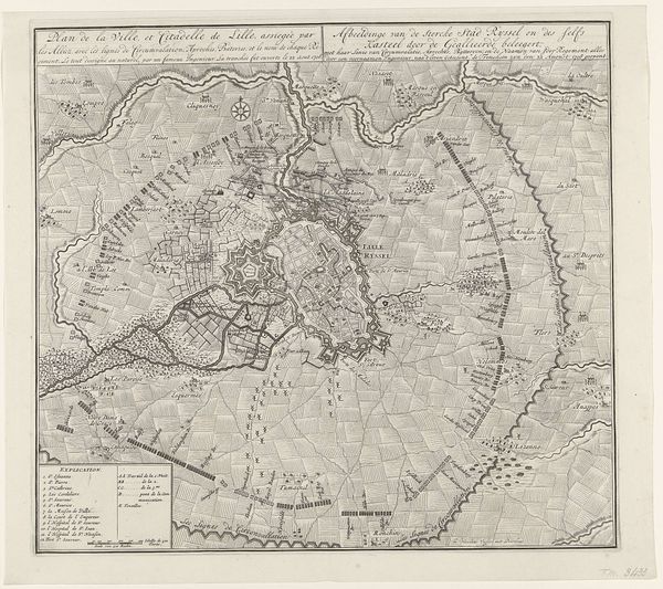
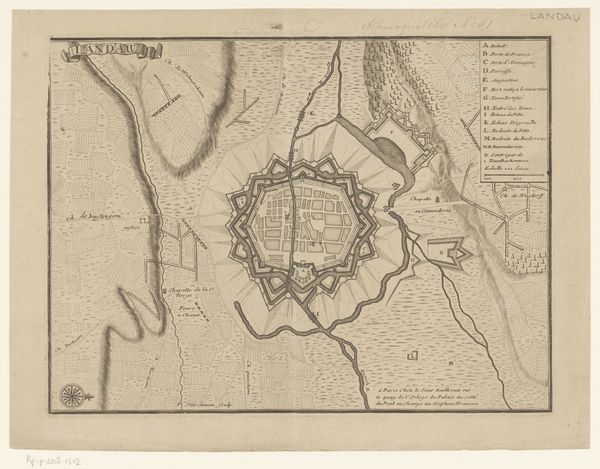
Editor: Here we have Jacobus Harrewijn's "Kaart van de aanvallen op Béthune, 1710," an engraving at the Rijksmuseum. It feels incredibly detailed, almost obsessive in its rendering of the town's fortifications. What strikes you most about it? Curator: You know, it whispers stories of power and paranoia to me. This isn't just a map; it's a portrait of fear, meticulously etched. Every line speaks of a need to control, to defend against some unseen terror. It's almost a baroque fortress of the mind. What do you make of all those angles? Editor: Well, they look intimidating. Almost like a geometric spiderweb. Curator: Exactly! But beyond intimidation, those star-shaped bastions are incredibly innovative and suggest strategic defense. Do you get a sense of the landscape and environment as much as the fortifications themselves? It's kind of fascinating, like they’re attempting to control all the elements, both built and natural. It reminds me a bit of trying to hold water in my hands - beautiful futility, perhaps? Editor: That's a nice observation! It makes you think about how humans attempt to dominate the natural world. Seeing it this way is insightful. I never thought of it that way. Thanks! Curator: My pleasure! Always question, my dear editor. Always look beneath the surface. And perhaps carry a bit of paranoia with you...artistically speaking, of course! Editor: I certainly will. Thanks, I think I’ll never look at a map in the same light again.
Comments
No comments
Be the first to comment and join the conversation on the ultimate creative platform.
More like this