print, engraving
# print
#
pen sketch
#
landscape
#
geometric
#
pen work
#
cityscape
#
history-painting
#
academic-art
#
engraving
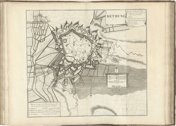
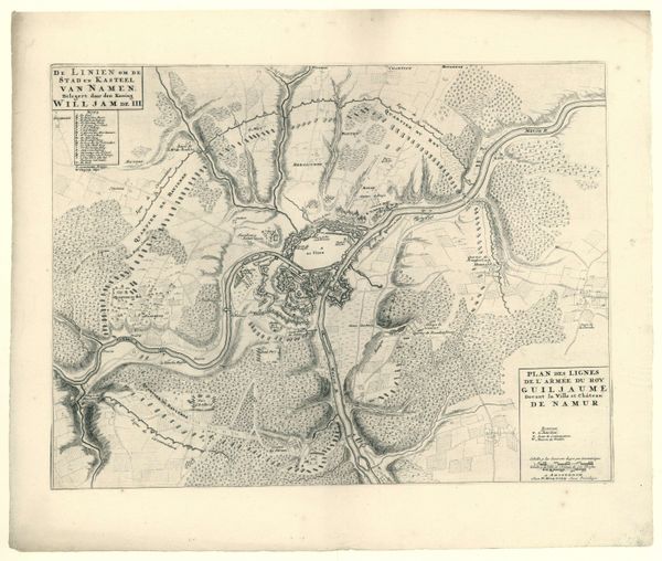
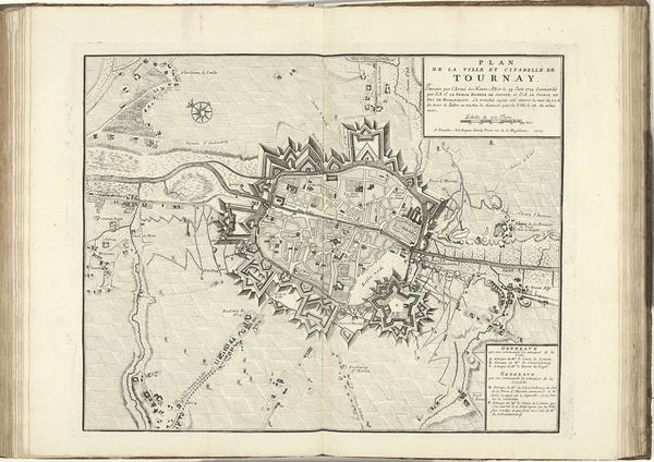
Dimensions: height 440 mm, width 592 mm
Copyright: Rijks Museum: Open Domain
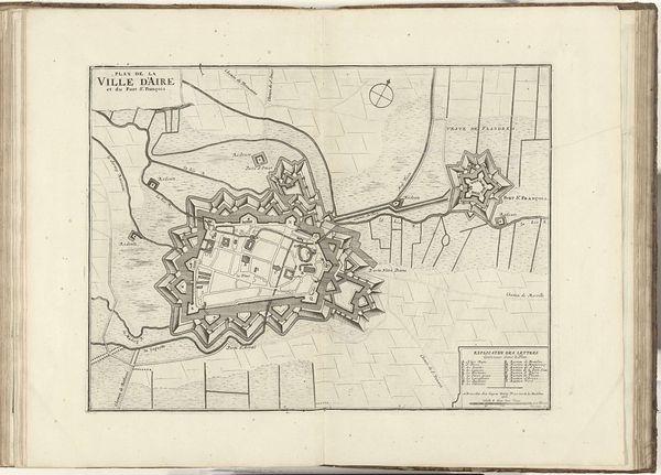
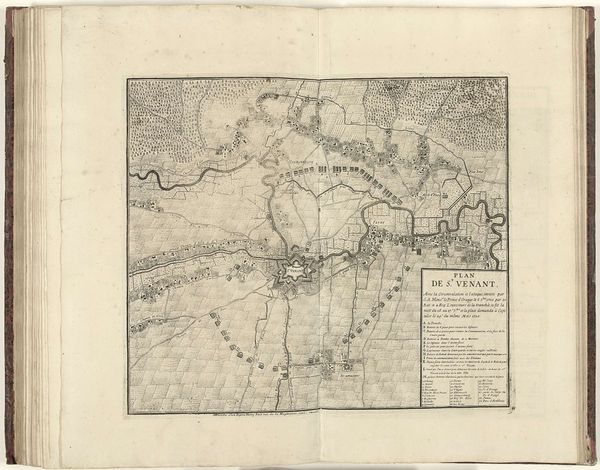
Pieter Devel’s etching, "Siege of Aire," produced around 1710, meticulously depicts the military strategies employed during the War of the Spanish Succession. The elaborate fortifications surrounding Aire, now Aire-sur-la-Lys in Northern France, reflect the period’s emphasis on defensive urban planning. The star-shaped fortresses and complex network of trenches weren't just about military might; they were statements of power and control. Made during a period of intense European conflict, this image underscores the role of cartography in military intelligence and political propaganda. It also highlights the importance of understanding the complex social, economic, and military context of the 18th century. To fully appreciate Devel's etching, scholars consult military archives, period maps, and political treatises. This research reveals how much the production and consumption of imagery intertwines with political ambition and institutional power.
Comments
No comments
Be the first to comment and join the conversation on the ultimate creative platform.
More like this