print, engraving
# print
#
landscape
#
geometric
#
northern-renaissance
#
engraving
Dimensions: height 519 mm, width 403 mm
Copyright: Rijks Museum: Open Domain
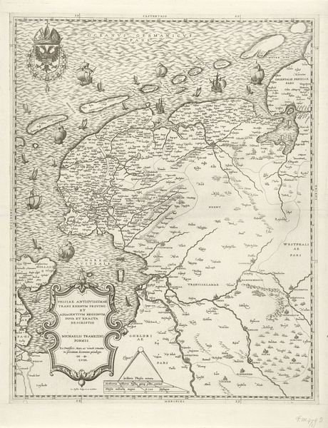
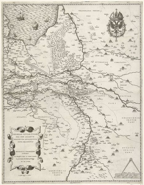
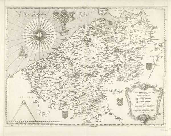
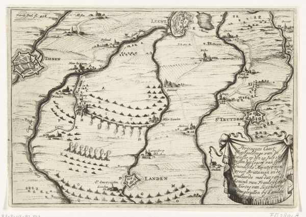
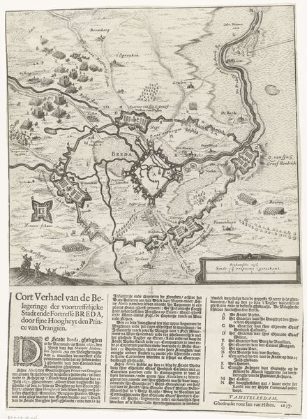
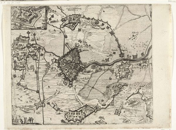
Jacob Bos's "Kaart van Brabant" is an engraving that pictures the region of Brabant and was made sometime between 1520 and 1580. Brabant was the territory of shifting imperial, dynastic, and religious power. Maps like these were not just about geography; they were about power, identity, and claiming space in a world undergoing massive transformation. Consider the emotional weight of such a map during the tumult of the 16th century. For those living in Brabant, this wasn't just ink on paper, it was a depiction of their homeland at a time of immense religious and political upheaval. It represented the borders of their belonging, the fields they worked, and the roads they traveled. For those in power, the map might be an instrument to exert control over land and people. The "Kaart van Brabant" encapsulates a profound tension of place, identity, and authority that continues to resonate today. It invites us to reflect on how maps shape our understanding of belonging, power, and identity.
Comments
No comments
Be the first to comment and join the conversation on the ultimate creative platform.
More like this