drawing, print, ink, engraving
#
drawing
#
medieval
# print
#
old engraving style
#
landscape
#
ink
#
geometric
#
engraving
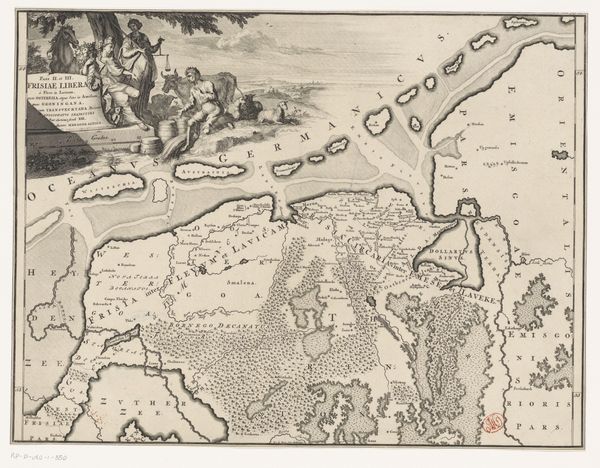
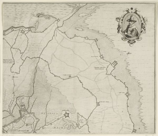
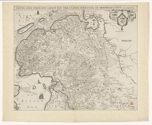
Dimensions: height 490 mm, width 386 mm
Copyright: Rijks Museum: Open Domain
This is an anonymous map of Friesland, Groningen, Drenthe, and Overijssel, made without a specified date using engraving. The map provides a window into the historical and cultural landscape of the Low Countries. Created during a time of significant political and social change, as the region struggled for independence from Spanish rule, maps weren't just geographical tools; they were statements of identity and power. Note how the detailed rendering of towns and waterways emphasizes the economic and strategic importance of the region. Consider the emotional weight carried by such maps. For those living through conflict and upheaval, these images of their homeland would have served as powerful reminders of what was at stake. The map is also inscribed with Latin text which elevates the region’s importance, appealing to a learned audience. As such, this map is a testament to the enduring human need to define and defend our places in the world.
Comments
No comments
Be the first to comment and join the conversation on the ultimate creative platform.
More like this