drawing, print, ink
drawing
ink drawing
pen drawing
dutch-golden-age
ink
cityscape
history-painting
Dimensions: height 266 mm, width 316 mm
Copyright: Rijks Museum: Open Domain
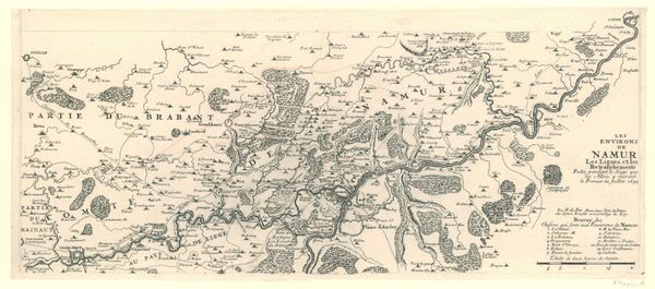
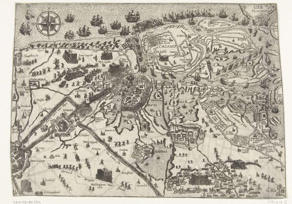
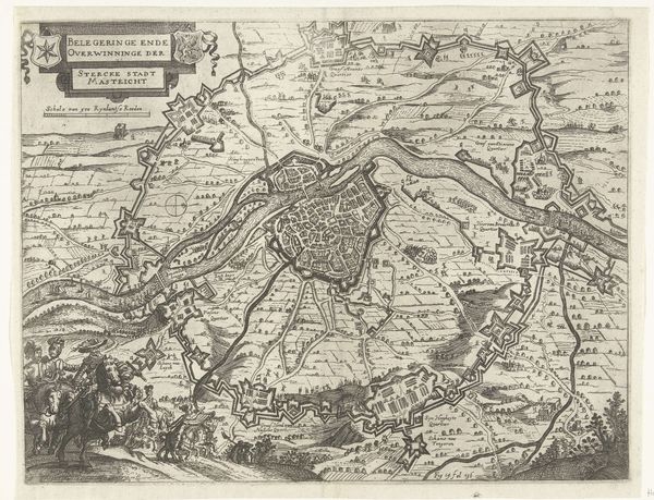
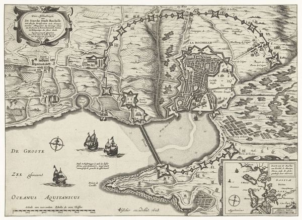
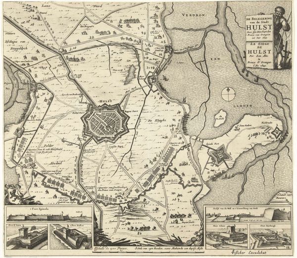
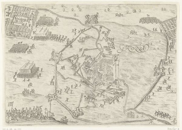
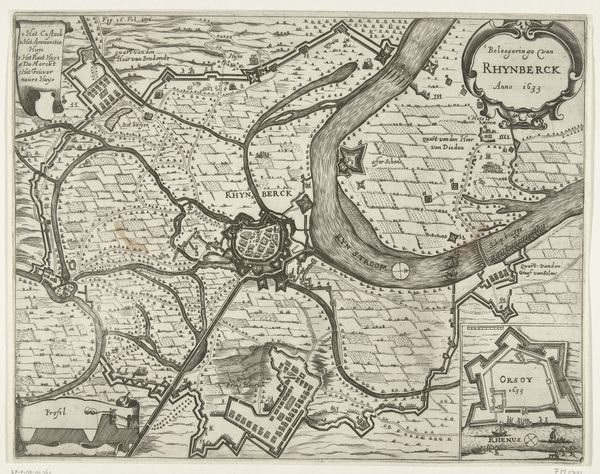
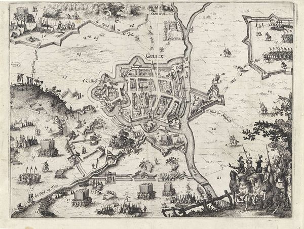
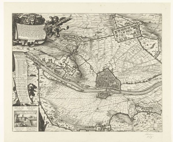
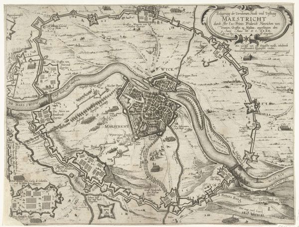
This is an anonymous map of the siege of Breda, made in 1624. It gives us insight into the military strategies and geopolitical landscape of the Dutch Revolt. Maps in the 17th century weren't just navigational tools. They were potent symbols of power, territorial claims, and political ambition. This map, with its detailed rendering of fortifications and troop positions, would have served multiple purposes: informing military leaders, demonstrating Spanish dominance, and shaping public opinion back home. It’s no accident that the map meticulously details the besieging forces surrounding Breda, emphasizing their strategic positioning and overwhelming strength. Consider the intended audience: elites and rulers eager for news and asserting control. As historians, we delve into archives, military records, and political pamphlets to understand the context. Only then can we appreciate how cartography and art intersect, shaping perceptions and solidifying narratives of conquest and control.
Comments
No comments
Be the first to comment and join the conversation on the ultimate creative platform.