drawing, print, ink, engraving
drawing
baroque
pen sketch
old engraving style
landscape
ink
engraving
Dimensions: height 229 mm, width 303 mm
Copyright: Rijks Museum: Open Domain
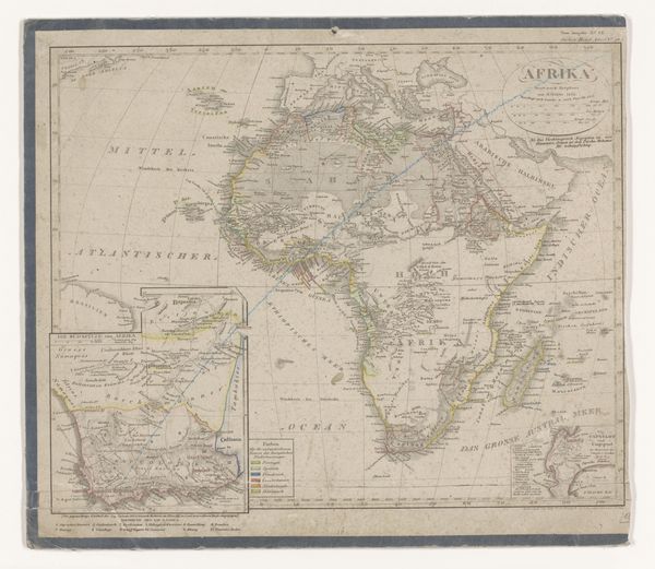
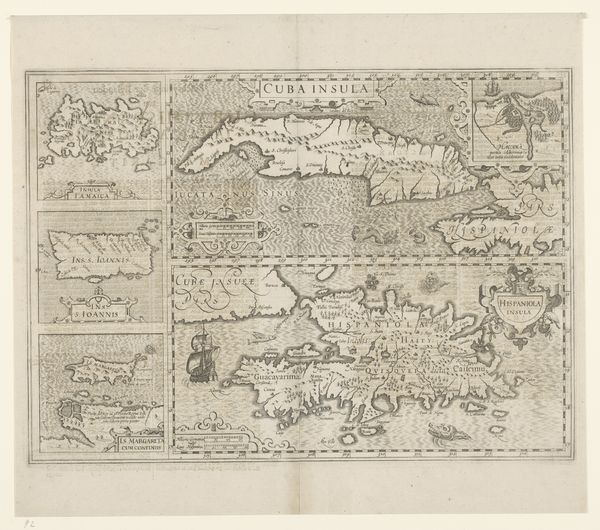
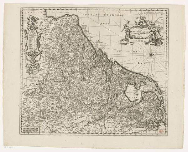
This undated map of South America was made by an anonymous cartographer. The map is a product of its time, reflecting the European perspective and the colonial gaze directed towards the continent. It emphasizes geographical features and political divisions relevant to European powers, while often overlooking or misrepresenting indigenous perspectives and knowledge. Consider how the map flattens the lived experiences and diverse identities of the people who inhabited this land long before European contact. The act of mapping itself becomes a form of claiming territory, a visual assertion of dominance. The lines drawn on this map carry weight, shaping not only geographical understanding but also the political and social realities of the region. It invites us to reflect on the power dynamics inherent in representation, and on whose stories are told—and whose are left out—in the construction of our understanding of the world.
Comments
No comments
Be the first to comment and join the conversation on the ultimate creative platform.