drawing, print, ink, engraving
#
pen and ink
#
drawing
#
dutch-golden-age
# print
#
ink
#
line
#
cityscape
#
history-painting
#
engraving
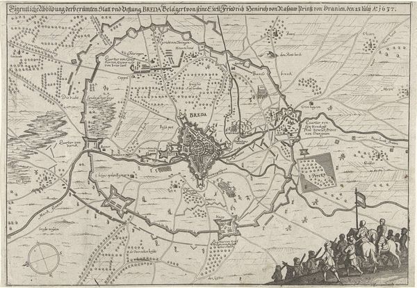
Dimensions: height 370 mm, width 267 mm
Copyright: Rijks Museum: Open Domain
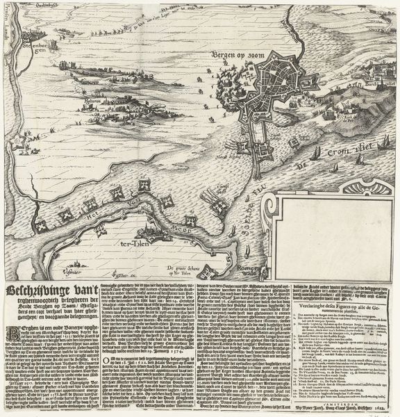
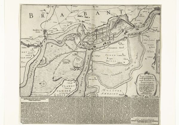
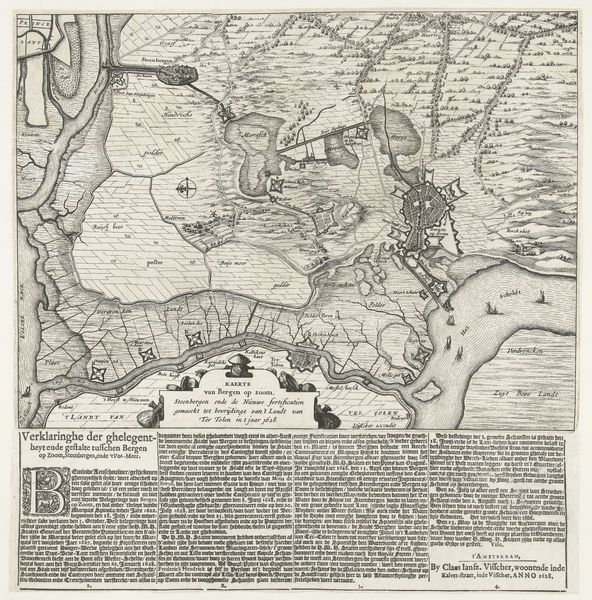
This anonymous map of the siege of Breda was printed in Amsterdam in 1637. It depicts the Prince of Orange's capture of the city of Breda. Such maps were not just geographical tools. They were powerful propaganda, shaping public opinion about political events. The map uses visual codes to present a particular perspective on the siege. The detailed depiction of fortifications and troop movements conveys military authority, and its attempt at a bird's eye view asserts a kind of objective truth. But of course, the map is far from neutral. It celebrates the power of the House of Orange and the Dutch Republic, a nation then defining itself through military and economic prowess. To truly understand this map, we might consult military archives, political pamphlets, and economic records of the time. By understanding the social conditions that shape artistic production, we come closer to understanding the public role of art in the 17th century.
Comments
No comments
Be the first to comment and join the conversation on the ultimate creative platform.
More like this