Tataria, from "Court Game of Geography" 1838 - 1855
0:00
0:00
drawing, print, paper, engraving
#
drawing
# print
#
landscape
#
paper
#
engraving
Dimensions: 3 3/4 × 2 1/2 in. (9.5 × 6.4 cm)
Copyright: Public Domain
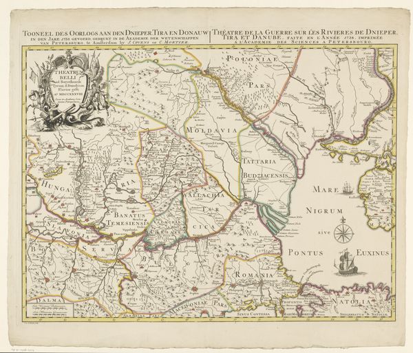
This educational card titled "Tataria" comes from a "Court Game of Geography," created by William and Henry Rock in the 19th century. Note the careful rendering of geographical features: rivers snaking through the land, mountain ranges forming borders. These aren't just neutral details; they symbolize the boundaries and contours of human experience. Tataria, as depicted, is not merely a place on a map but a theater of history, where different cultures and powers—Siberia, Persia, China—converge and collide. The use of cartography is a potent symbol in itself. Maps do not only represent space, but also project power, define territories, and shape perceptions. The very act of mapping can be seen as an attempt to impose order on the world, reflecting the psychological need to understand and control our environment. The map becomes a symbolic tool to navigate both physical and psychic landscapes. The notion of geographical boundaries shifts and evolves. Borders, like the rivers and mountains that define them, are fluid, reflecting the ever-changing dynamics of power and culture, perpetually open to reinterpretation across time.
Comments
No comments
Be the first to comment and join the conversation on the ultimate creative platform.
