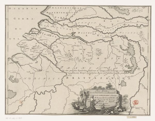
print, etching, paper, graphite
#
baroque
# print
#
etching
#
landscape
#
paper
#
geometric
#
graphite
#
history-painting
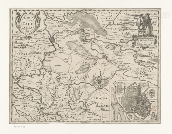
Dimensions: height 184 mm, width 255 mm
Copyright: Rijks Museum: Open Domain
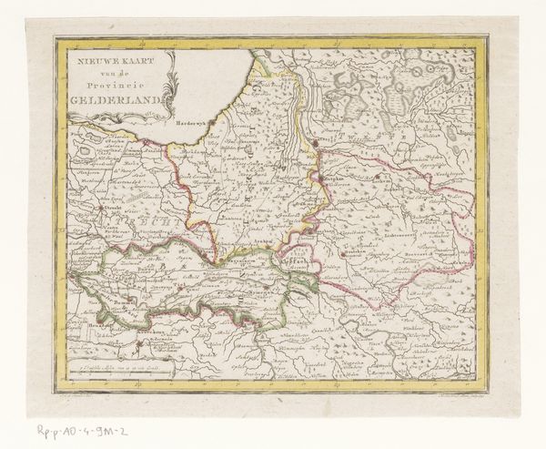
This is a map of the County of Zutphen, made by Pieter van der Keere around the turn of the 17th century. The formal structure immediately conveys a sense of order and precision. Consider the careful arrangement of place names, rivers, and borders. Each element is rendered with a clear, almost calligraphic line, indicative of the period’s fascination with scientific accuracy and aesthetic refinement. Notice how the topographical features, like the subtle shading indicating higher elevations, create a visual hierarchy. This structured approach isn't merely descriptive; it's interpretive. The map presents a vision of Zutphen as a territory neatly divided and understood, reflecting early modern Europe's drive to categorize and control its world. The map operates as a semiotic system, where each symbol—town, river, forest—functions as a signifier, pointing to real-world entities. It invites us to consider how cartography encodes power, knowledge, and cultural values. Ultimately, it functions as both a practical tool and a powerful statement about humanity’s relationship to its environment.
Comments
No comments
Be the first to comment and join the conversation on the ultimate creative platform.
More like this