drawing, print, watercolor
#
drawing
#
baroque
# print
#
landscape
#
watercolor
#
cityscape
Dimensions: height 115 mm, width 180 mm
Copyright: Rijks Museum: Open Domain
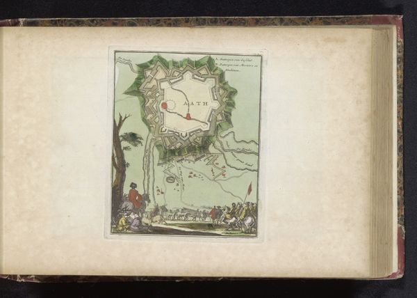
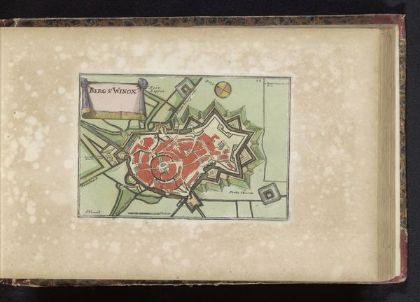
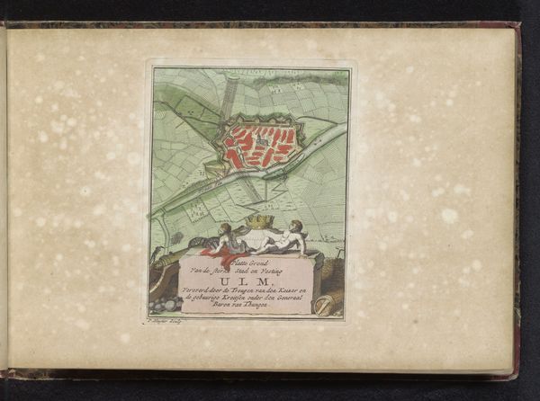
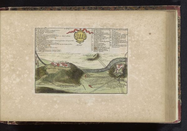
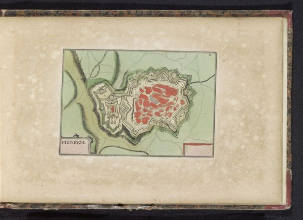
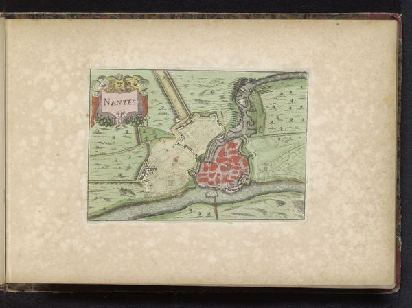
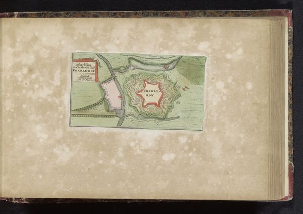
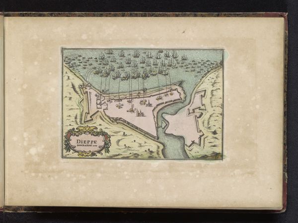
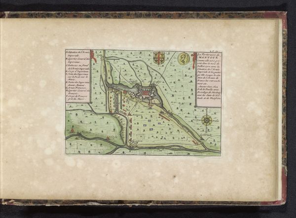
This is an anonymous map of Mons, a city in Belgium. Reflect on the power dynamics inherent in map-making. A map is not a neutral representation of space, but a document shaped by the mapmaker's perspective, beliefs, and, in many cases, political motivations. Here, the city is presented within a framework of military strategy and defense. The star-shaped fortifications, rendered with meticulous detail, speak volumes about the priorities of the era. Mons was a strategic stronghold, a pawn in the power games of European empires. Armies and fortifications are highlighted, while elements of civilian life are absent. What stories are silenced in this representation? Consider how this map would have been used and by whom. What does this tell us about their understanding of the world? This map invites us to consider the relationship between identity, power, and spatial representation.
Comments
No comments
Be the first to comment and join the conversation on the ultimate creative platform.
More like this