Dimensions: height 141 mm, width 182 mm
Copyright: Rijks Museum: Open Domain
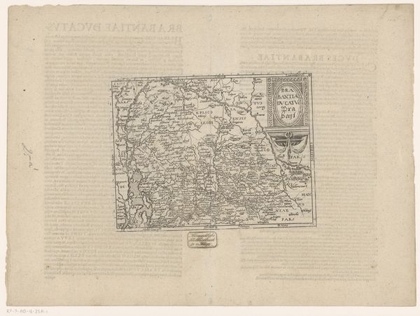
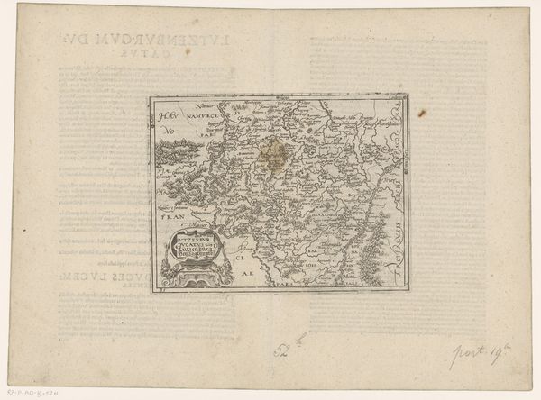
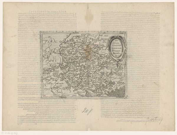
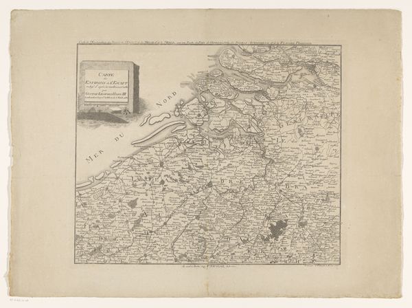
Editor: So this is Frans Hogenberg's "Kaart van het graafschap Namen," an engraving from 1579 or 1580. I’m really struck by the density of detail crammed into such a small space. It makes me wonder, what would have been the purpose of creating a print like this at that time? Curator: It’s less about pure geographical accuracy and more about political and social representation. These maps, widely circulated, visually asserted a claim to territory and control. Think of it as propaganda as much as cartography. Editor: Propaganda? How so? Curator: Well, consider the intended audience. These weren’t just for travelers. They were often commissioned by or intended for rulers, nobles, and merchants. Possessing detailed visual representations of their lands reinforced their power, both domestically and on the international stage. How might owning such a map change their perceived status? Editor: That’s interesting. It suggests that these maps weren’t just passively reflecting the world but actively shaping how people understood power. And what about the decorative elements? Do they have any significance? Curator: Absolutely. The flourishes, the intricate lettering, these were all design elements used to suggest grandeur and importance. It elevates a utilitarian document to something artistic, reinforcing the idea that the region being mapped is culturally significant and worth possessing. These images, in other words, functioned to produce the desire for possession. Editor: I never really considered maps as playing an active role in constructing these narratives of power and possession, rather than simply as objective documents of place. Thanks, this has really opened my eyes to viewing historical objects through a much more complex lens. Curator: My pleasure. Always remember, the image is never neutral, especially when questions of political boundaries and ownership are concerned.
Comments
No comments
Be the first to comment and join the conversation on the ultimate creative platform.
More like this