drawing, graphic-art, print, paper, engraving
#
drawing
#
graphic-art
# print
#
paper
#
engraving
Dimensions: height 150 mm, width 194 mm
Copyright: Rijks Museum: Open Domain
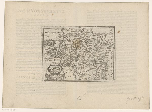
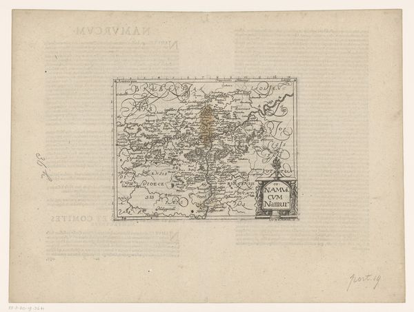
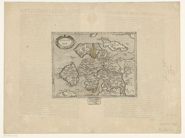
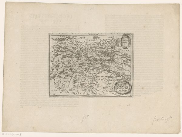
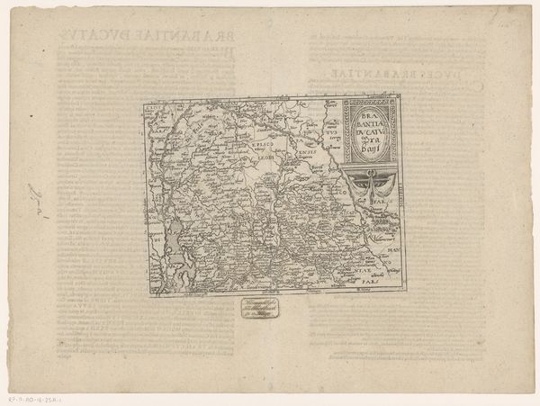
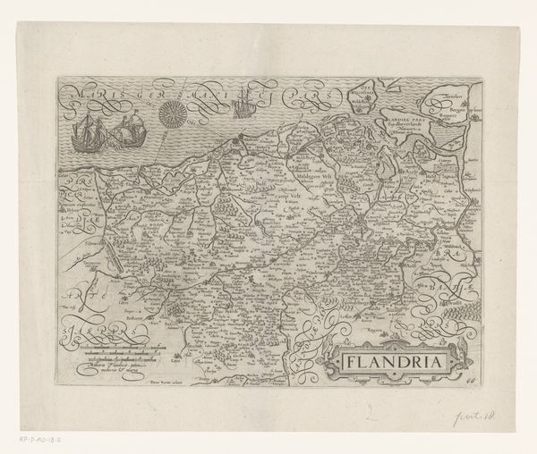
Frans Hogenberg created this map of Hainaut, or Henegouwen, using engraving techniques during a time of significant geopolitical tension. The map itself, a symbol of control and understanding, is adorned with cartouches featuring intricate borders. These borders, like the classical acanthus leaf motif, echo those found framing sacred texts and royal decrees, drawing a parallel between earthly dominion and divine order. The acanthus, reaching back to ancient Greek architecture and manuscript illumination, has been embraced and adapted through Renaissance Europe. Such motifs are not static; they morph and adapt, accumulating layers of meaning. Its presence in Hogenberg’s map connects the viewer to a long history of human endeavor, underscoring a deeper cultural and psychological impulse to organize and define our world. In essence, symbols like the acanthus remind us that history is not linear, but cyclical.
Comments
No comments
Be the first to comment and join the conversation on the ultimate creative platform.
More like this