1702 - 1703
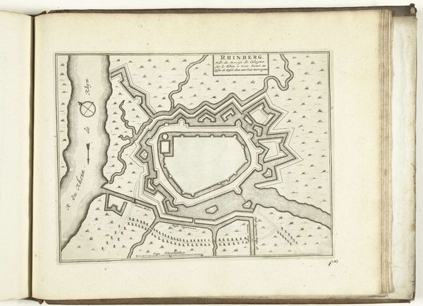
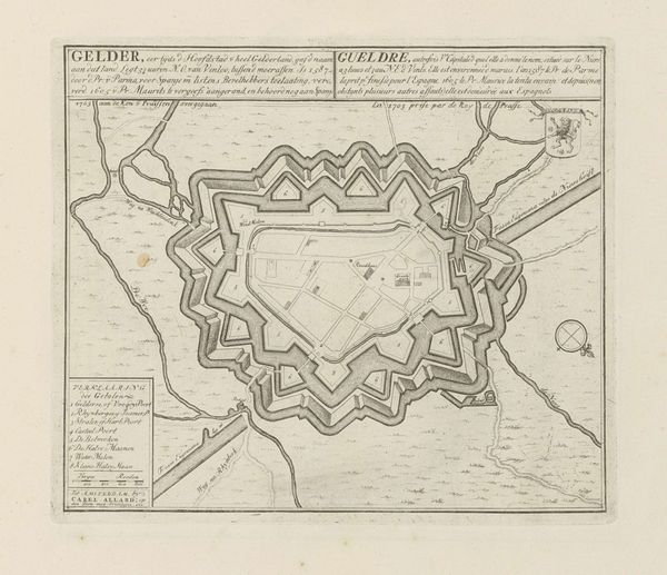
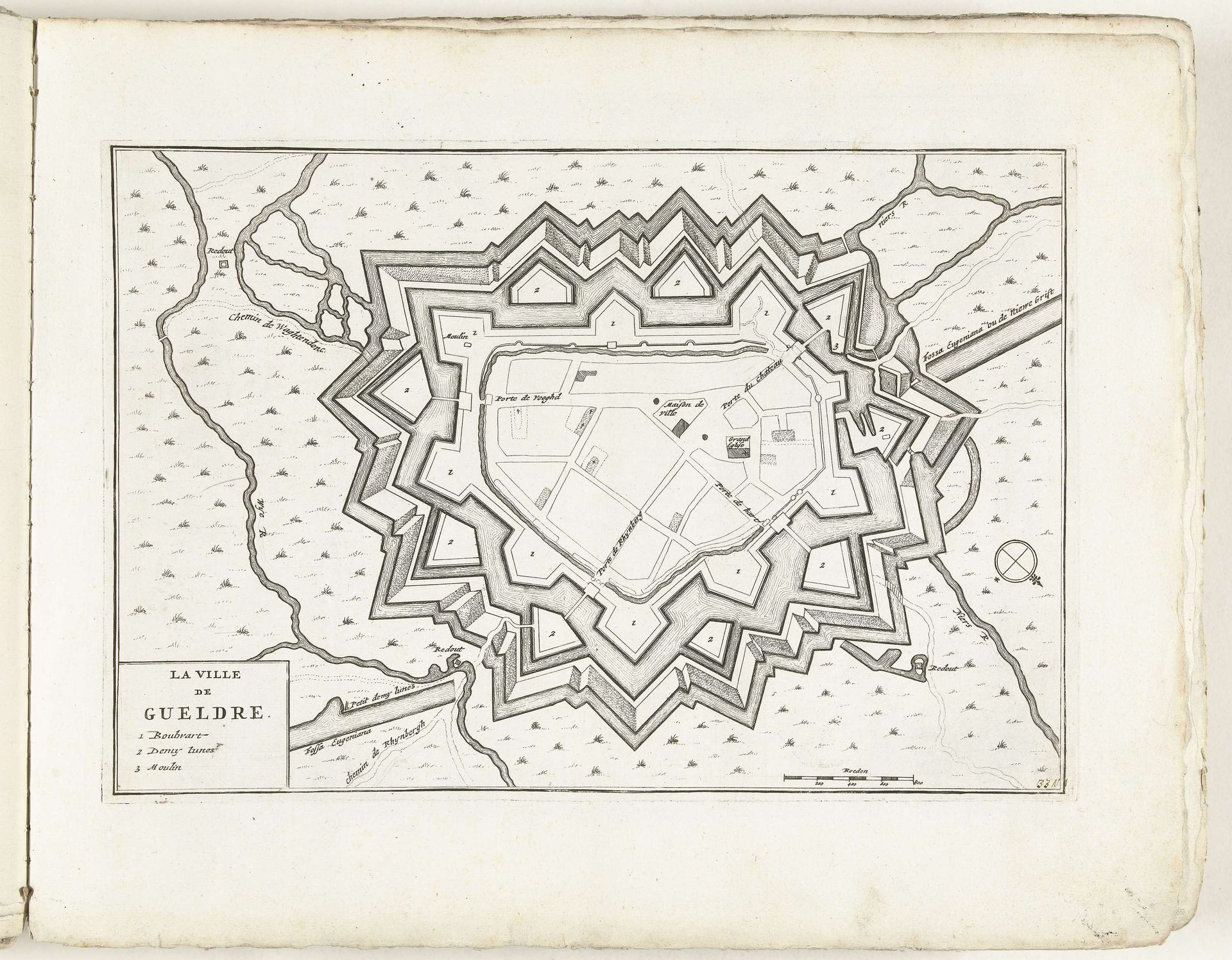
Plattegrond van Geldern, ca. 1702
Anonymous
@anonymousLocation
RijksmuseumListen to curator's interpretation
Curatorial notes
Around 1702, an anonymous artist created this rendering of ‘Plattegrond van Geldern’, now held in the Rijksmuseum. Drawn with meticulous lines, the map presents Geldern not just as a place, but as a structured defense system. The city is contained within geometric fortifications, a star-shaped network of walls and moats. The map’s structural clarity invites us to consider the interplay between space, power, and representation. The precise lines and calculated layout reflect an attempt to impose order on the landscape, turning the city into a fortress. The map also plays with semiotics. Each line, angle, and symbol functions as a sign, communicating strategic information. The ordered layout of the city and its defenses visualizes how power is encoded in spatial arrangements, challenging any fixed ideas about geography. The rigid geometry of the defenses contrasts sharply with the organic flow of the rivers, creating tension between nature and imposed structure.