drawing, print, engraving
#
drawing
#
baroque
# print
#
cityscape
#
engraving
Dimensions: height 398 mm, width 500 mm
Copyright: Rijks Museum: Open Domain
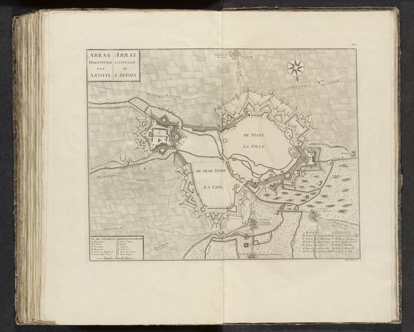
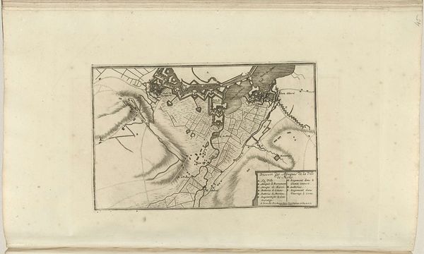
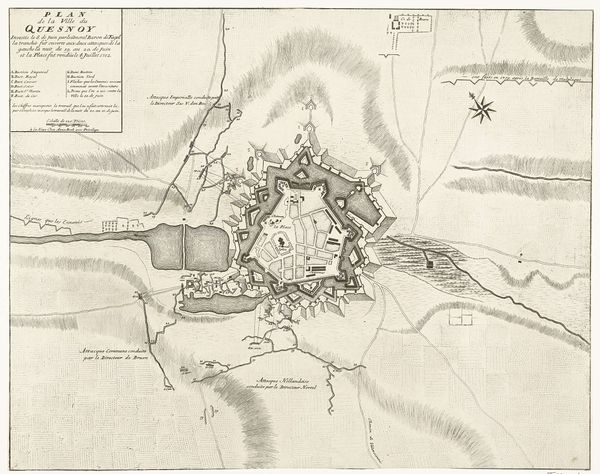
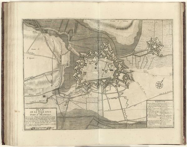
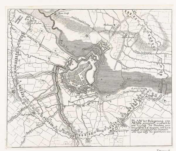
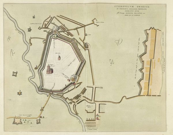
Jacobus Harrewijn created this copper engraving of the city of Arras in 1710. The incised lines and hatched areas, created with a burin, describe the city's architecture, including the imposing citadel with its star-shaped fortifications. Engraving is an indirect process, in which the artist translates an image into a series of precise marks on a metal plate. These marks, filled with ink, are then transferred to paper under great pressure. The method allows for the easy reproduction of images, making it a powerful tool for disseminating information. The crisp precision of the engraving lends authority to the image. Consider the work involved in its production, which speaks to the need to create a permanent record of Arras as a strategic site. This speaks to wider social issues of geopolitics and military power, with craft skill being used here in the service of statecraft. Ultimately, by looking closely at the material and process of this print, we can consider its meaning and place within both the history of printmaking and the history of early modern Europe.
Comments
No comments
Be the first to comment and join the conversation on the ultimate creative platform.
More like this