drawing, print, ink, pen, engraving
#
drawing
#
baroque
#
dutch-golden-age
# print
#
landscape
#
ink
#
geometric
#
pen
#
cityscape
#
history-painting
#
engraving
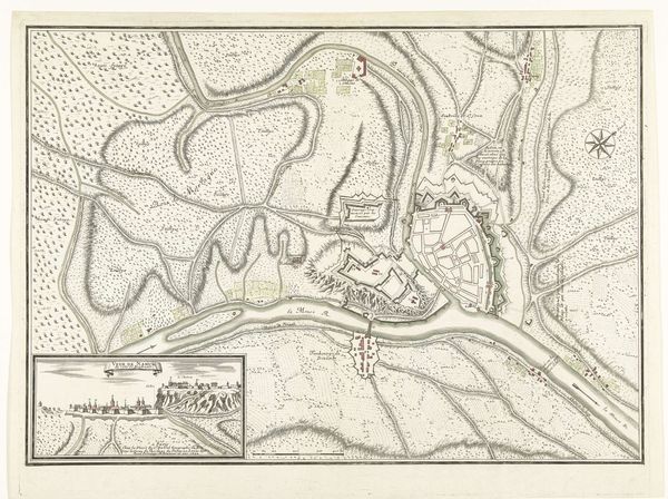
Dimensions: height 265 mm, width 360 mm
Copyright: Rijks Museum: Open Domain
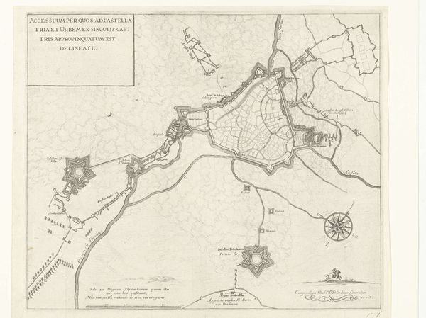
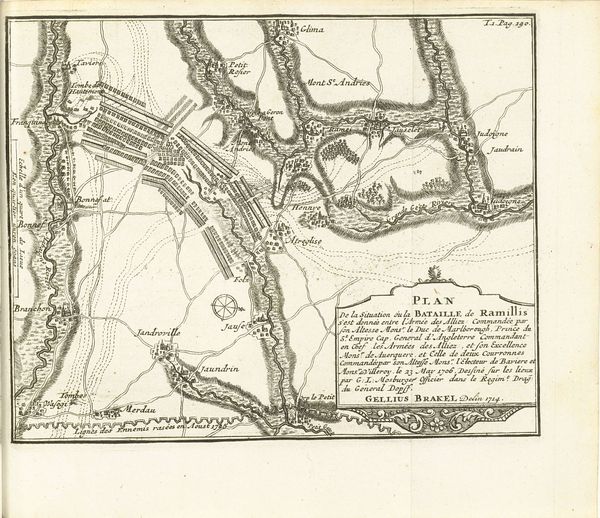
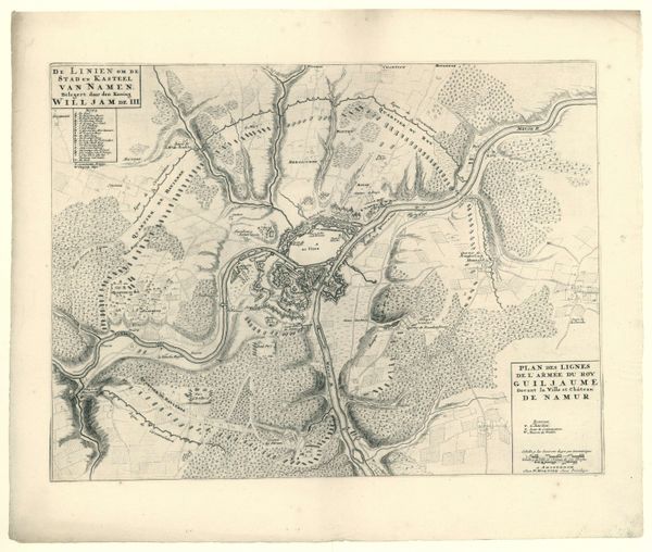
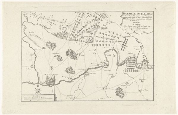
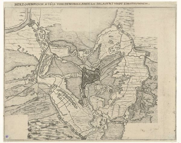
This map, printed in Amsterdam in 1644, documents the siege and capture of Sas-van-Gent. It’s made from an engraving, a process that involves cutting lines into a metal plate, inking it, and then pressing paper against the surface to transfer the image. The dense networks of lines create a detailed image of the conflict from above. You can see fortifications, troop positions, and the waterways that defined the area. The act of engraving is painstaking, demanding both skill and time. This map would have been a valuable commodity, offering insight into a key military event. Consider the social context: maps like these weren’t just about geography. They were tools of power, meant to inform military strategy and shape public opinion. The labor-intensive process of engraving, combined with the map’s strategic value, speaks to the intertwined relationship between craft, commerce, and conflict in the 17th century. It reminds us that even seemingly functional objects can carry significant cultural weight.
Comments
No comments
Be the first to comment and join the conversation on the ultimate creative platform.
More like this