drawing, ink, engraving
#
drawing
#
baroque
#
ink
#
geometric
#
cityscape
#
engraving
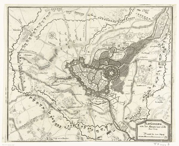
Dimensions: height 425 mm, width 538 mm
Copyright: Rijks Museum: Open Domain
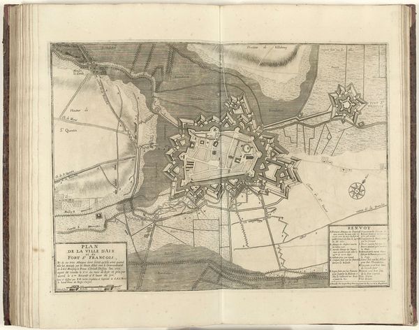
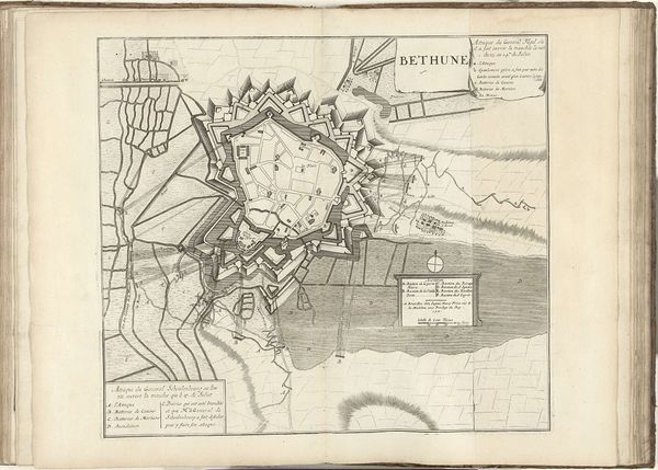
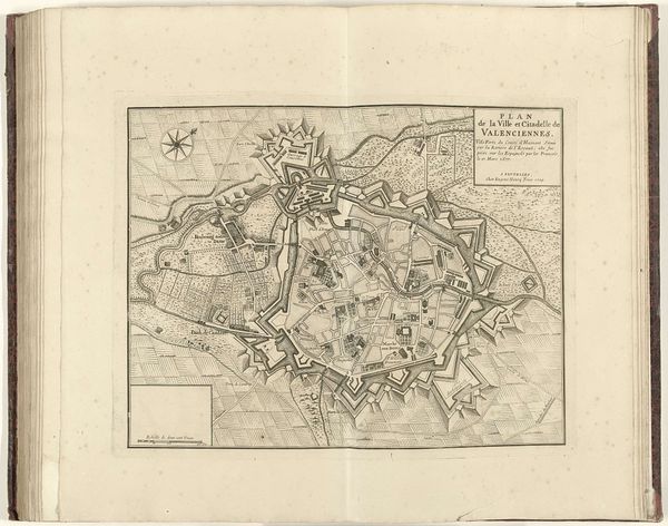
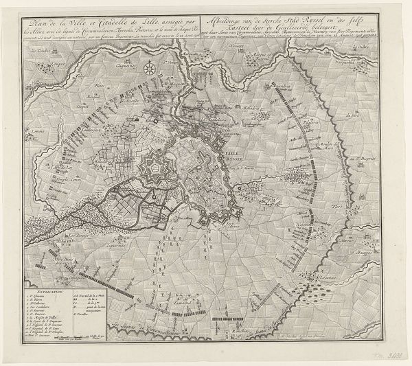
This print is a map of Le Quesnoy, made anonymously in 1712 using etching on paper. The city is depicted with a fascinating interplay of lines, tones and textures. The etcher would have coated a metal plate with a waxy ground, then drawn through it with a sharp needle to expose the metal. Immersed in acid, the exposed lines are eaten away, creating grooves that hold ink. Pressing paper against the plate transfers the image. The varying thickness and density of lines give the map its descriptive power. Consider that this wasn’t just a picture; it was a tool of power. The ability to accurately map and represent territory was crucial for military strategy and control. The very act of etching – a painstaking, labour-intensive process – reflects the value placed on precision and detail in this era of territorial ambition. Thinking about this map, we can reconsider the relationship between art, craft, and power, understanding how even seemingly functional objects can be imbued with cultural and historical significance.
Comments
No comments
Be the first to comment and join the conversation on the ultimate creative platform.
More like this