graphic-art, print, engraving
#
graphic-art
#
pen drawing
#
dutch-golden-age
# print
#
pen sketch
#
old engraving style
#
landscape
#
personal sketchbook
#
ink drawing experimentation
#
pen-ink sketch
#
pen work
#
sketchbook drawing
#
history-painting
#
storyboard and sketchbook work
#
sketchbook art
#
engraving
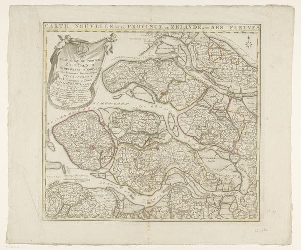
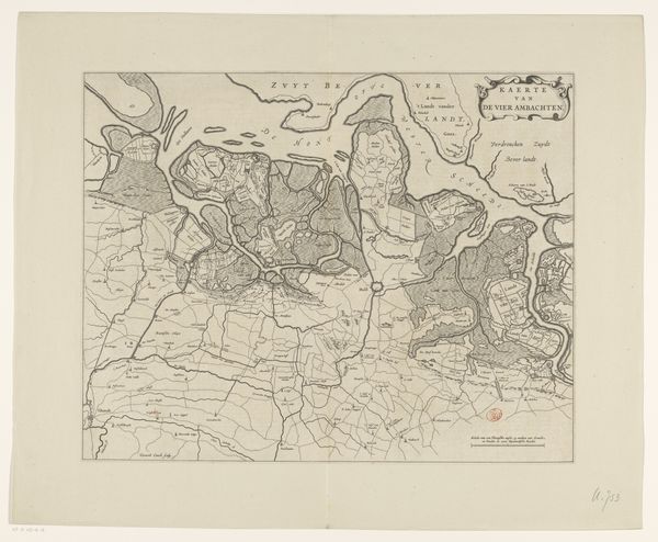
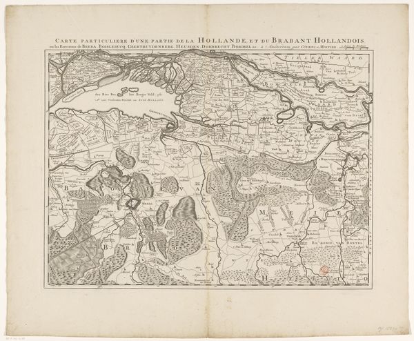
Dimensions: height 431 mm, width 560 mm
Copyright: Rijks Museum: Open Domain
Johannes Condet produced this map of Zeeland and the western part of Brabant in the 18th century using etching techniques. The image provides more than a geographical survey; it’s a political document reflecting the complex interplay between cartography and governance in the Dutch Republic. Consider how the detailed depiction of waterways and land divisions underscores the importance of these features for trade, defense, and administration. Made in Amsterdam, this map speaks to the city’s role as a center of commerce and intellectual exchange, and the Dutch Republic’s investment in charting its territories for economic and strategic advantage. How might such a map have influenced contemporary debates about land use, infrastructure development, or even military strategy? Understanding this work requires us to investigate archives and period documents. By analyzing the map in its social and institutional context, we come to understand how knowledge production is always intertwined with power.
Comments
No comments
Be the first to comment and join the conversation on the ultimate creative platform.
More like this