drawing, print, paper, ink
#
drawing
# print
#
landscape
#
paper
#
ink
#
geometric
#
realism
Dimensions: height 631 mm, width 870 mm
Copyright: Rijks Museum: Open Domain
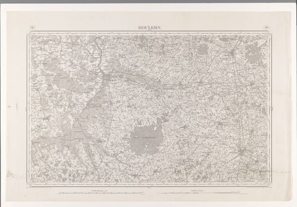
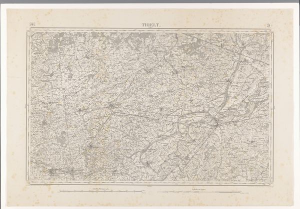
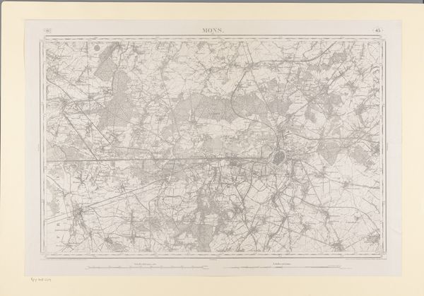
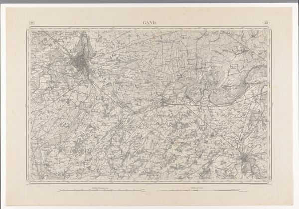
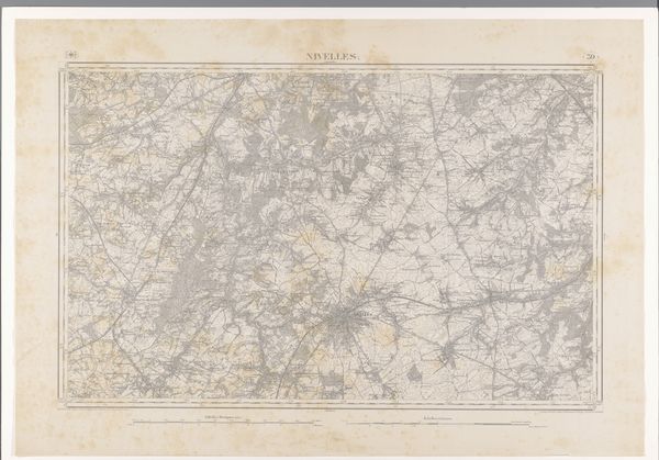
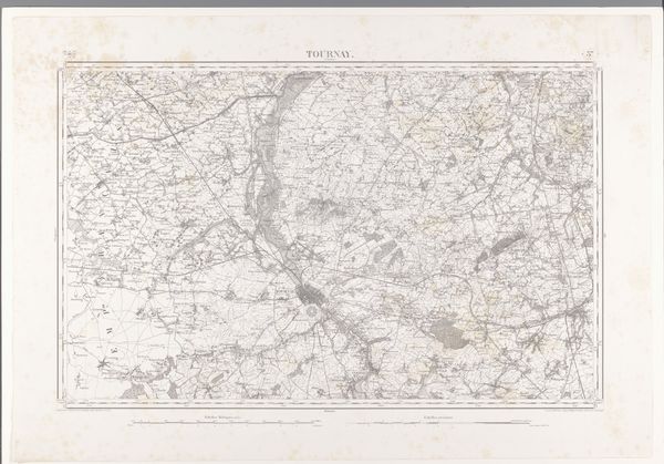
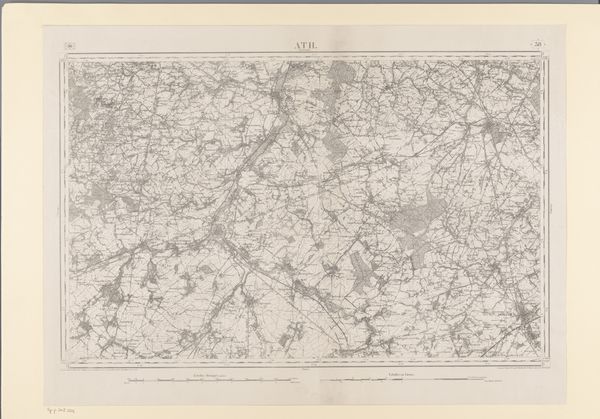
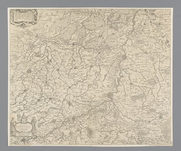
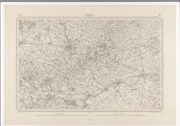
Editor: Here we have an interesting print from 1873 titled "Kaart van de omgeving van Namen," or "Map of the surroundings of Namur," created by various artists. It's a detailed landscape using ink on paper. It's so intricate; I feel a little lost looking at it. What symbols and imagery jump out at you? Curator: The overwhelming network of lines immediately tells a story about connection, division, and human impact on the landscape. The winding rivers act as arteries, carrying life, trade, and, yes, division too. Do you notice how settlements cluster around them? Editor: Yes, the way the lines representing roads and rivers converge definitely highlight these population centers. It's practical and artistic at the same time. Curator: Absolutely. But think deeper. Maps aren't just practical tools. They also serve as powerful symbols of control, of claiming territory. How does the visual language of this map - the sharp, precise lines - reflect the mentality of the era? Consider the psychological impact of imposing such order onto a natural landscape. Editor: I suppose that level of precision can be interpreted as dominance. Almost like saying, "we have mapped it, so we know it, and therefore, we control it." It also hints at industrial growth and expansion, doesn't it? Curator: Exactly. It embodies a specific mindset and projects it outwards. The map also becomes a tool of memory. People used it to remember places, experiences, their very identity tied to the land. Can you see any visual metaphors related to identity in its structure? Editor: Maybe how all the individual components - the roads, rivers, towns - are connected and make a larger whole, representing the community. This print is so much more than just a guide. Curator: Precisely. It’s a symbolic representation of how we relate to the spaces we inhabit, physically and emotionally. Looking at it with that symbolic awareness opens up endless avenues of interpretation.
Comments
No comments
Be the first to comment and join the conversation on the ultimate creative platform.
More like this