drawing, painting, watercolor, ink
#
drawing
#
painting
#
landscape
#
etching
#
watercolor
#
ink
#
geometric
#
cityscape
#
academic-art
#
building
Dimensions: height 90 mm, width 40 mm
Copyright: Rijks Museum: Open Domain
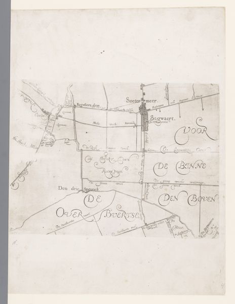
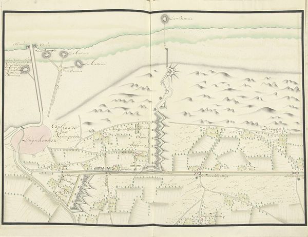
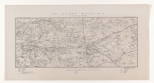
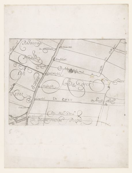
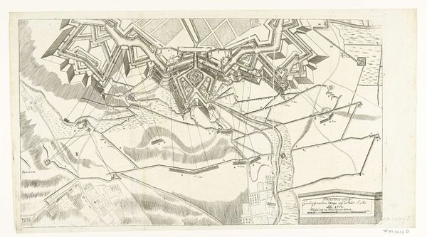
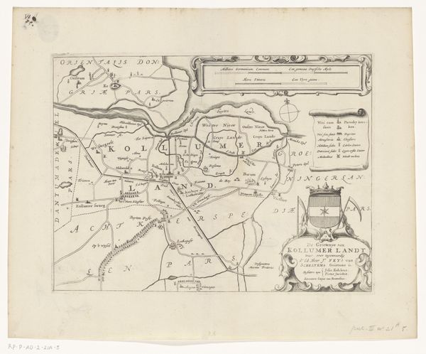
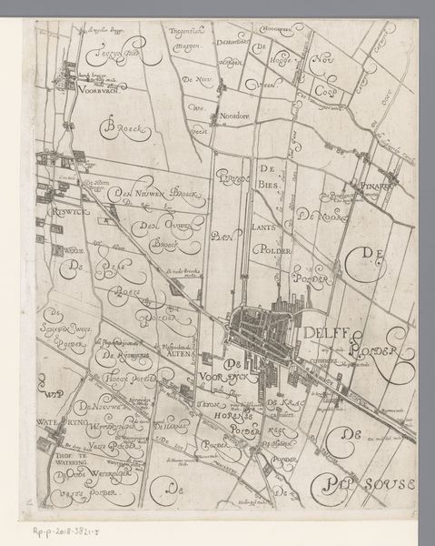
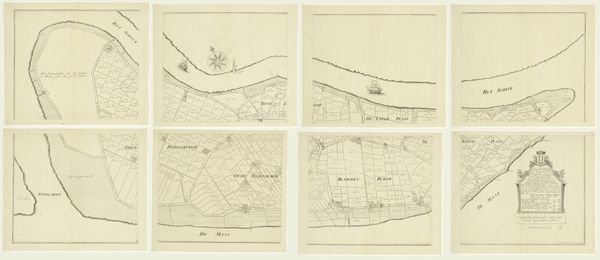
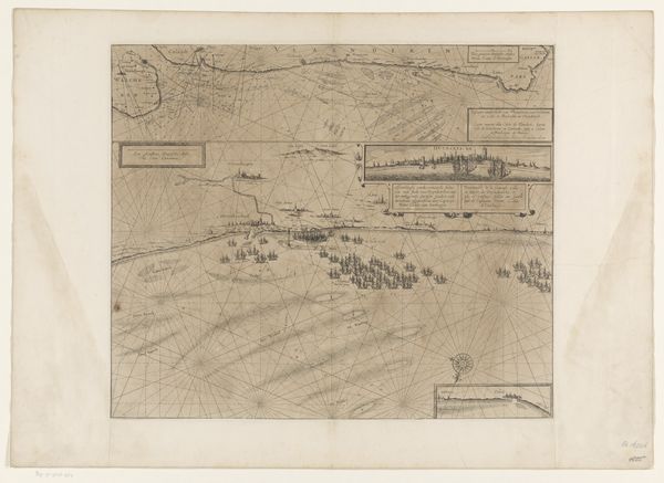
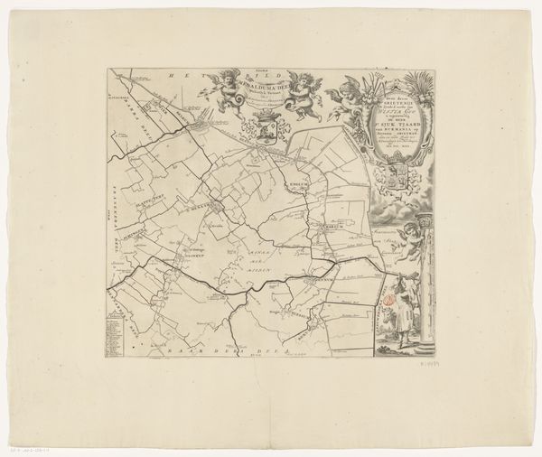
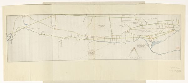
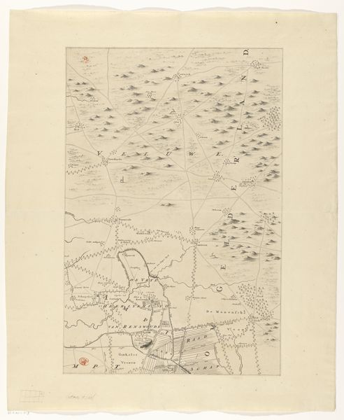
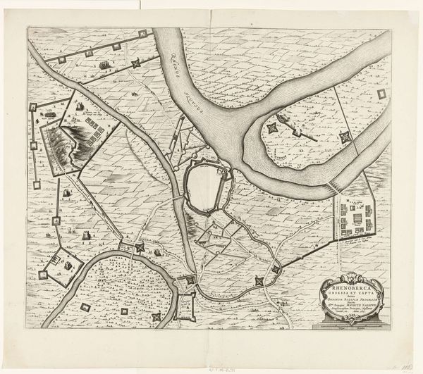
This map, made by an anonymous artist, presents a detailed survey executed in ink and watercolor. Its appeal resides in the contrasting textures and muted colour palette. Soft greens and tans define landscapes, evoking the dampness of coastal terrains. The map's composition is rigidly structured by a network of lines defining fields, waterways, and fortifications. This geometric precision contrasts with the freehand script. The map invites analysis through the lens of structuralism. The artist imposes a grid-like order on the landscape. Each sign – be it a road, a building, or a field – gains meaning in relation to others within the system. Notice how the cartographer uses a conventional set of symbols to denote terrain features. This semiotic approach reduces the landscape to a set of coded signs, reflecting humanity's impulse to order and categorize the world. It is this interplay between the map's aesthetic qualities and its structural underpinnings that invites us to contemplate the fusion of art, science, and human perception.
Comments
No comments
Be the first to comment and join the conversation on the ultimate creative platform.
More like this