drawing, print, paper, ink, engraving
#
drawing
#
baroque
# print
#
paper
#
ink
#
geometric
#
cityscape
#
history-painting
#
engraving
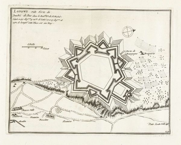
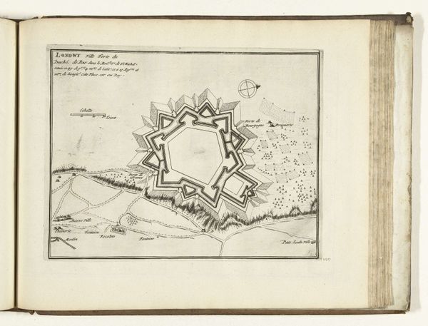
Dimensions: height 227 mm, width 288 mm
Copyright: Rijks Museum: Open Domain
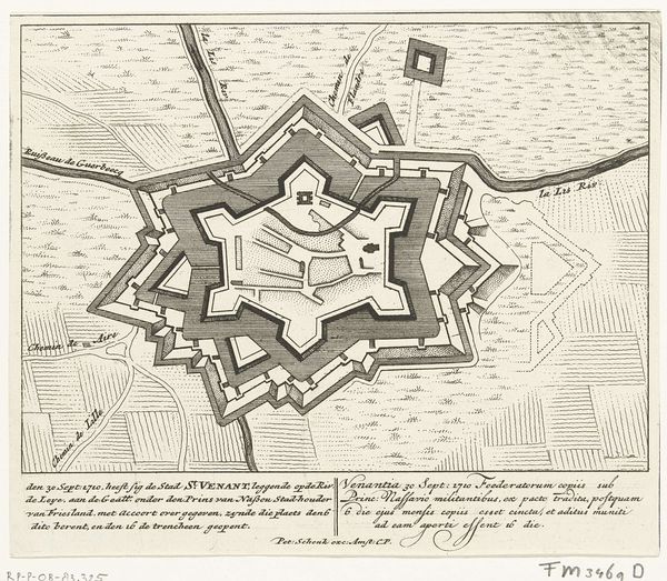
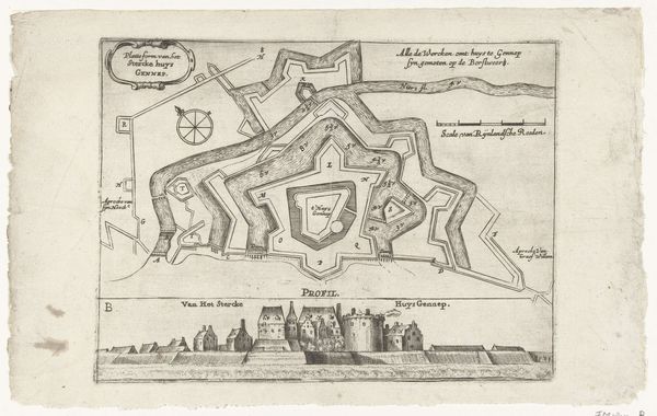
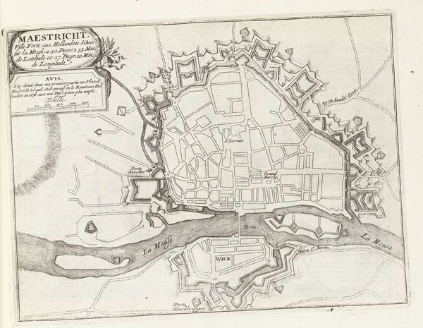
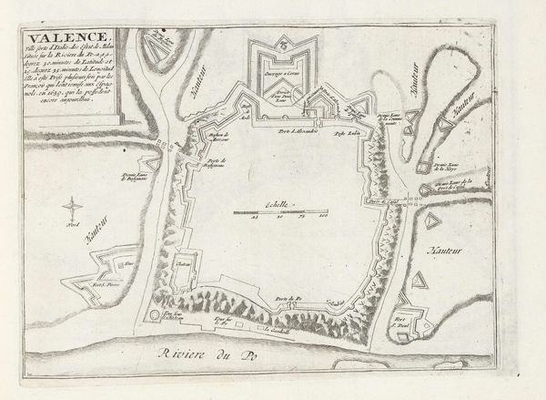
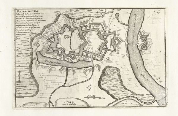
Curator: This is a plan of Longwy, a city in France, created around 1693-1696 by an anonymous artist. It's made using drawing, print, ink and engraving on paper. It feels incredibly precise, almost sterile in its detail. What do you make of it? Editor: Well, it reminds me a little of architectural drawings. But there’s something more going on here with this bird’s-eye view, like an agenda of power and control in how this city is represented, that seems to go beyond mere architectural data. How would you interpret it? Curator: Absolutely! Think about what this map *does*. It isn’t just a representation of Longwy; it’s a projection of power. The perfect geometric shape imposed upon the landscape signifies control and order, masking the lived realities of the people within. Who benefits from this portrayal of order? Who might resist such imposition? Editor: So you’re saying the map is a tool of social and political engineering? Almost like a blueprint for domination rather than simply reflecting a reality? Curator: Precisely! Maps have long been implicated in colonization and control. Think about how indigenous lands are often re-drawn, re-named, and claimed through cartography. Editor: That makes a lot of sense. I never thought a city plan could hold so much political meaning! It makes you wonder what realities were deliberately omitted. Curator: Exactly. This drawing prompts us to think about the power dynamics inherent in representation itself. Who gets to draw the map, and whose stories are left off the page? Editor: Food for thought – it's challenged me to look at maps very differently. Curator: And hopefully, consider whose voices we aren’t hearing, and whose lands are being reshaped, even today.
Comments
No comments
Be the first to comment and join the conversation on the ultimate creative platform.
More like this