drawing, ink, pen
#
drawing
#
baroque
#
pen illustration
#
ink
#
pen
#
cityscape
Dimensions: height 222 mm, width 286 mm
Copyright: Rijks Museum: Open Domain
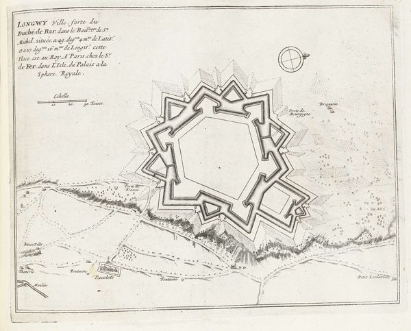
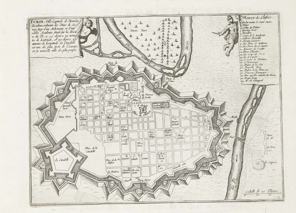
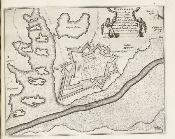
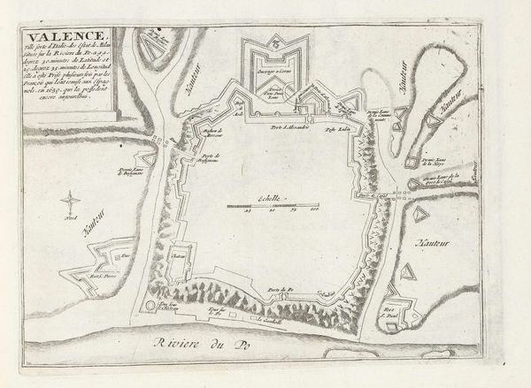
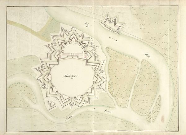
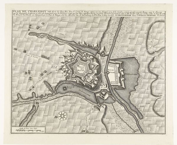
This is an anonymous, undated map of Longwy, France, made around 1702 using engraving. At first glance, this appears to be a straightforward depiction of a fortified city, but let’s consider the wider context. Longwy, located on the border between France and Luxembourg, has historically been a site of conflict. Maps like these were tools of power, used to strategize military campaigns and assert territorial claims. What stories are not told here? Whose perspectives are missing? The map centers the fortified city, but what about the lives of the people within those walls, or the surrounding villages? Their experiences of war, displacement, and shifting allegiances are absent. This is a cartography of control, prioritizing military strategy over human stories. It’s a reminder that even seemingly objective documents like maps are shaped by the interests and ideologies of those who create them. How do we reckon with these silences and consider the human cost of territorial ambition?
Comments
No comments
Be the first to comment and join the conversation on the ultimate creative platform.
More like this