print, engraving
# print
#
old engraving style
#
15_18th-century
#
cityscape
#
engraving
Dimensions: height 161 mm, width 194 mm
Copyright: Rijks Museum: Open Domain
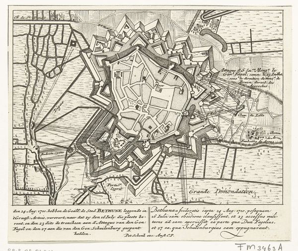
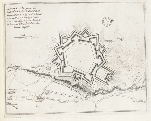
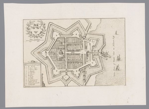
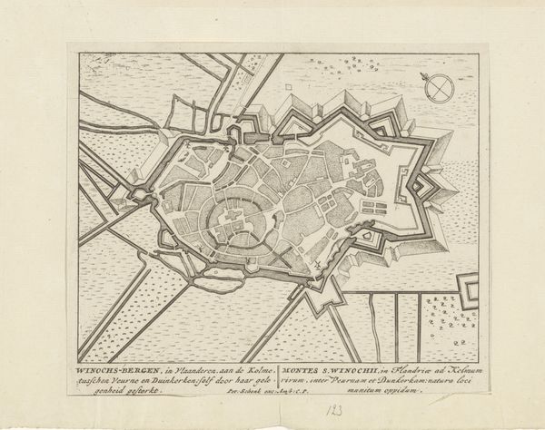
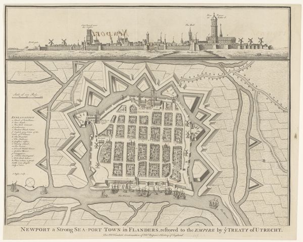
Pieter Schenk made this print of Saint-Venant in 1710. It shows the town’s layout after it surrendered to Frisian troops under Prince Nassau. In the early 18th century, cartography was not just about accurately mapping space. It was deeply intertwined with military strategy and political power. The detailed depiction of fortifications, trenches, and waterways reveals a keen interest in the town's defensive capabilities. This wasn't just an innocent portrayal; it was a document produced in the context of ongoing conflicts, likely serving to inform military planning. Prints like these circulated among the political and military elite, shaping their understanding of the landscape and influencing decision-making on the battlefield. By studying such prints, we can gain insights into the social and institutional contexts that shaped early modern warfare and geopolitics. We can look at military archives, political correspondence, and even contemporary news reports to reconstruct its meaning.
Comments
No comments
Be the first to comment and join the conversation on the ultimate creative platform.
More like this