drawing, print, engraving
#
drawing
#
baroque
# print
#
geometric
#
line
#
cityscape
#
engraving
Dimensions: height 212 mm, width 281 mm
Copyright: Rijks Museum: Open Domain
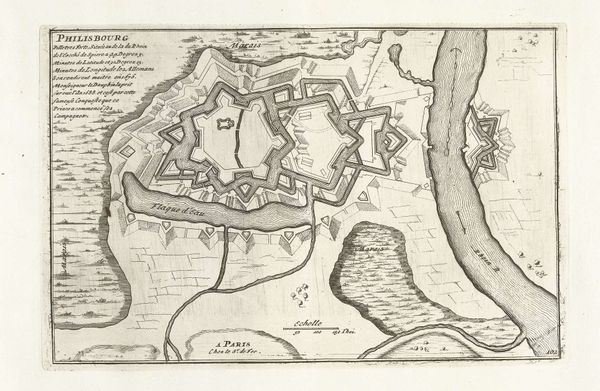
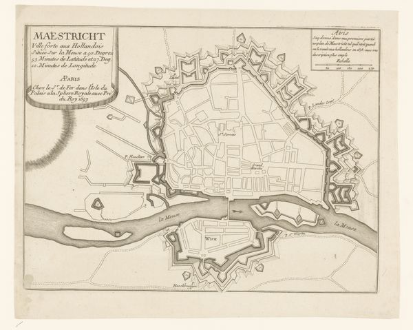
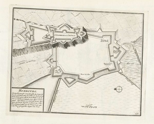
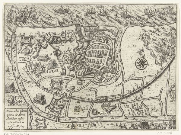
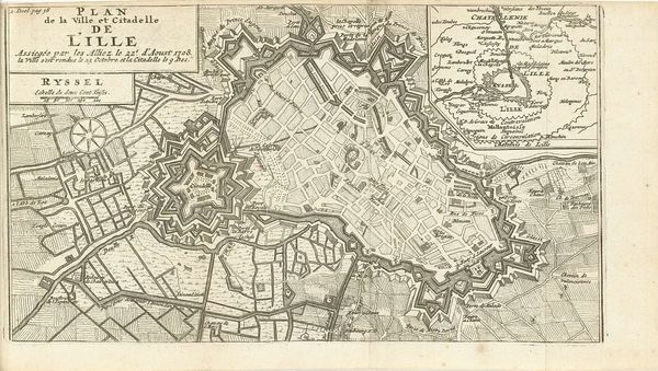
This is an anonymous plan of Maastricht made around 1695. The image consists of fine lines, hatched areas, and cartographic symbols to evoke a feeling of clarity. This map presents a structured and ordered view of the city. The composition is dominated by the city's fortifications and the river, which together create a sense of containment. The rigid geometry of the bastions and the orthogonal layout of the streets reflect the 17th-century emphasis on reason, order, and control. This order signifies power, reflecting a desire to impose structure on both the physical and social landscape. The plan invites a dialogue between the objective representation of space and the subjective experience of place. It serves as a sign system, encoding not just geographical data but also cultural values and ideological perspectives on urban planning. The map thus reveals how the city itself functions as a semiotic space, layered with signs and meanings that shape our understanding of the world.
Comments
No comments
Be the first to comment and join the conversation on the ultimate creative platform.
More like this