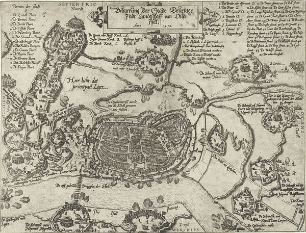
drawing, print, ink, engraving
#
drawing
# print
#
ink
#
geometric
#
cityscape
#
history-painting
#
engraving
Dimensions: height 230 mm, width 292 mm
Copyright: Rijks Museum: Open Domain
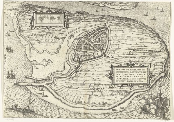
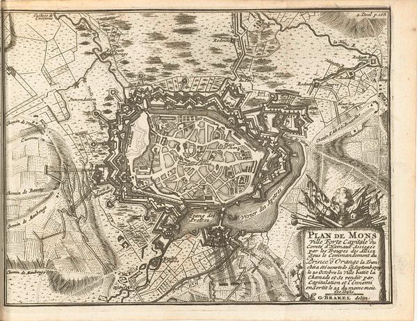
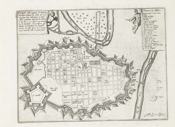
This is a map of Fuenterrabia, created around 1693 to 1696 by an anonymous artist using ink on paper. Though seemingly simple, maps like this were crucial instruments of power. Notice the precision of the lines, achieved through the skilled use of drafting tools. The controlled strokes, and the labor-intensive process of engraving and printing, speak to a significant investment of time and resources. Cartography in this era was deeply entwined with military strategy and colonial expansion, and was very much about power. The map isn’t just a representation of space, it's a tool for control. The act of mapping transforms a territory into a commodity, something to be owned and exploited. The labor involved in its production—from surveying to engraving—mirrors the larger societal forces at play. So, when you look at this map, consider not just the place it depicts, but the power dynamics it embodies. It is a prime example of how the seemingly objective representation of space is always shaped by social, political, and economic forces.
Comments
No comments
Be the first to comment and join the conversation on the ultimate creative platform.
More like this