print, engraving
#
dutch-golden-age
# print
#
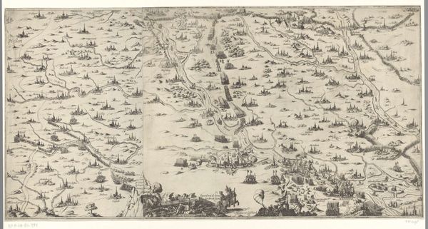
landscape
#
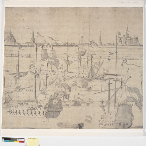
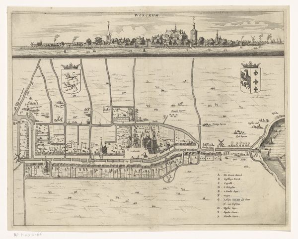
cityscape
#
engraving
Dimensions: height 404 mm, width 299 mm
Copyright: Rijks Museum: Open Domain
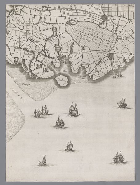
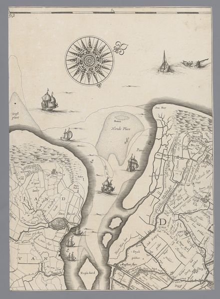
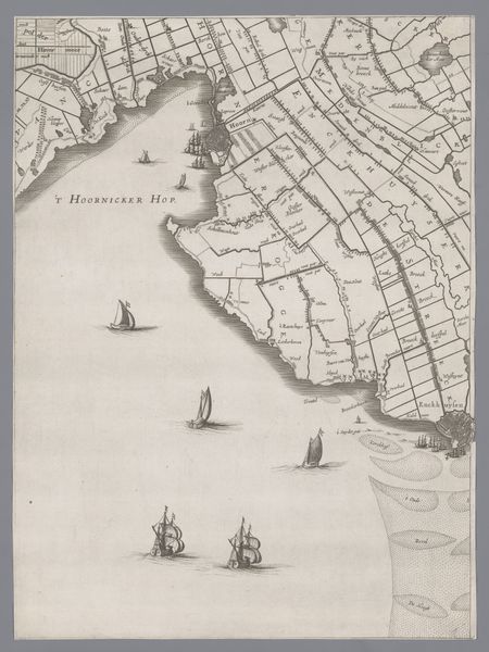
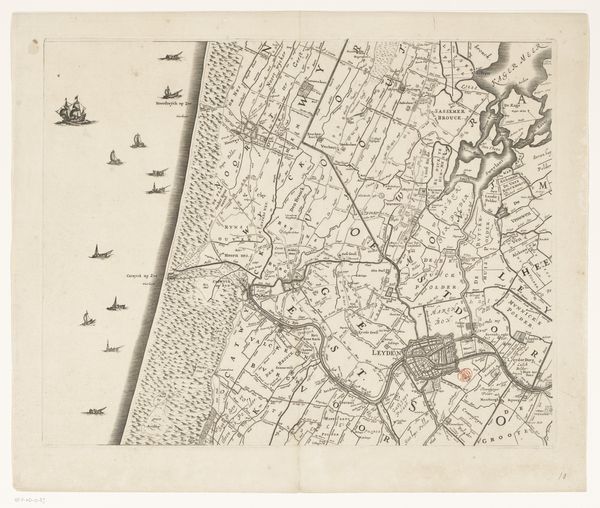
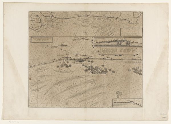
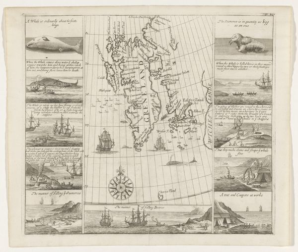
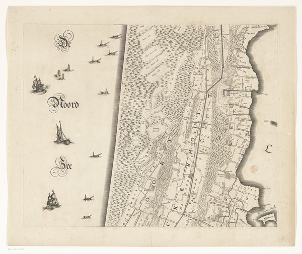
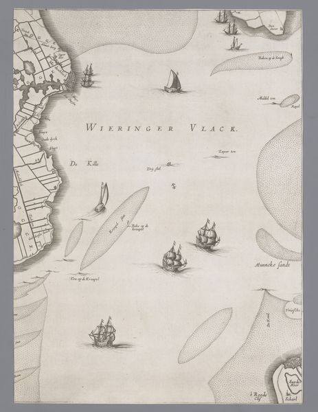
Jacob Aertsz Colom created this map of Holland and Utrecht, using etching, sometime before his death in 1673. More than just a tool for navigation, this map reflects the cultural and economic preoccupations of the Dutch Golden Age. Note the ships at sea, symbols of Dutch mercantile power, and the imagined sea monster, revealing both the fascination with the unknown and perhaps a veiled warning of the dangers faced by Dutch sailors. The detailed depiction of the landscape underscores the importance of land reclamation and agriculture to the Dutch economy. In Colom’s time, cartography was more than a science; it was an expression of national identity. Maps celebrated the achievements of Dutch society, but they also served to define and claim territory, reflecting the political ambitions of the Dutch Republic. Further research into the archives of the Dutch East India Company and the records of land reclamation projects would reveal even more about the cultural and economic context of this image.
Comments
No comments
Be the first to comment and join the conversation on the ultimate creative platform.
More like this