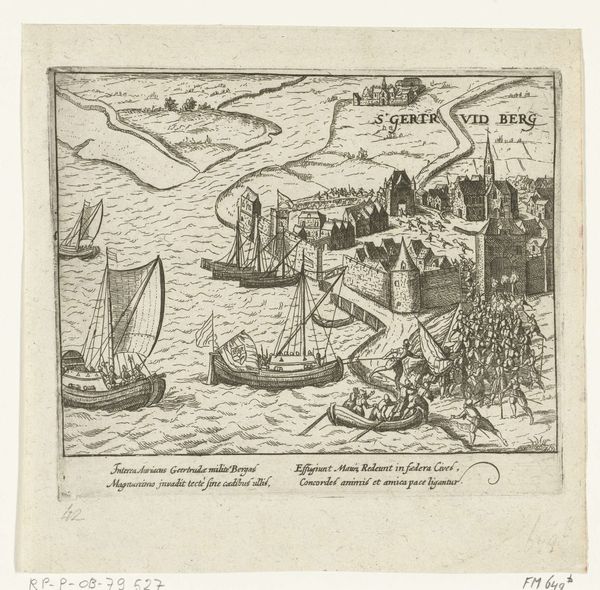
print, engraving
#
dutch-golden-age
# print
#
landscape
#
geometric
#
cityscape
#
engraving
Dimensions: height 405 mm, width 297 mm
Copyright: Rijks Museum: Open Domain
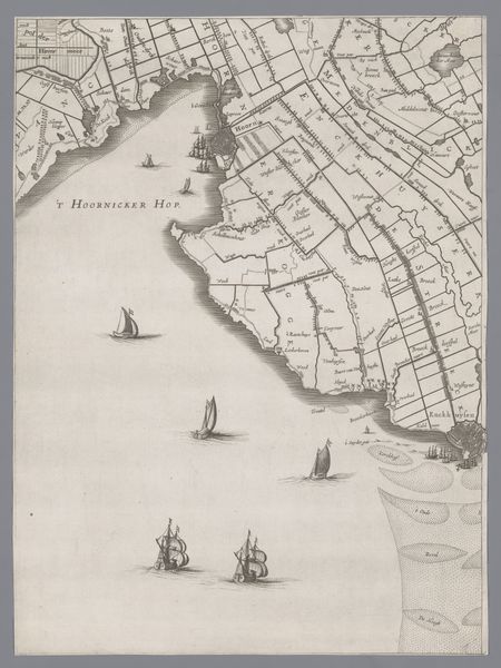
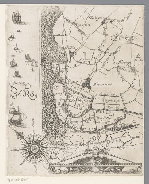
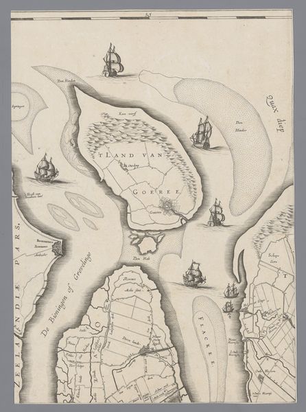
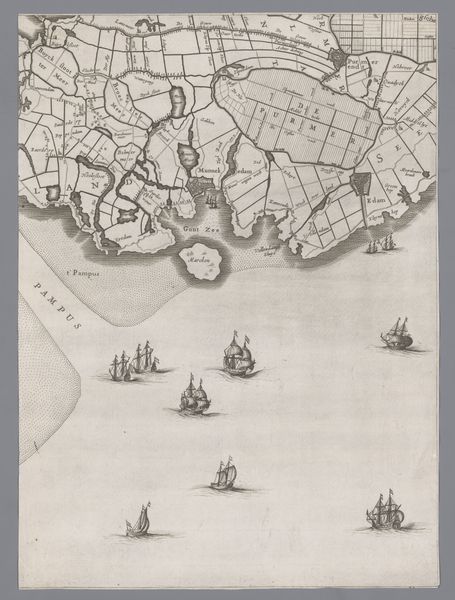
Curator: Here we have Jacob Aertsz Colom's "Kaart van het Graafschap Holland en Utrecht," an engraving dating back to 1639. I always think of these old maps as landscape art of a particularly informative type! Editor: My first impression is how much negative space there is. All that sea! It almost dwarfs the landmass itself. Gives you a sense of the vastness of the water. Curator: Absolutely. And that's quite intentional, I believe. Water was both a life-giver and a threat. Notice how strategically placed those ships are; each vessel more than just a detail— they’re like active guardians, markers of trade, exploration and a nation’s ambition sailing outward. Editor: Yes, the ships caught my eye too. They’re like symbols themselves— miniatures, but they tell a larger story of Dutch maritime power during that Golden Age. But even beyond nationalistic pride, I can almost feel the ocean’s pull; like I’m invited to imagine what it might be to sail into that nothingness and become just a little speck on that vast plain. It evokes feelings of curiosity and longing... almost like melancholy. Curator: I understand that; but maybe it also speaks to the known, delineated world versus the mysteries just beyond it. That shoreline represents control, civilization… but even this close-to-home maritime space still contains unseen, "monstrous" potential in the collective imagination of that era. So, the composition strikes that perfect balance between familiar shores and the tantalizing unknown. I think people felt a thrill of simultaneous fear and attraction for the oceans represented here. Editor: Interesting… a delicate balance struck on a single sheet! And the choice of engraving, that line work—so precise, so ordered. Does it attempt to mirror control over a wilder domain, or merely aspire toward a level of order nature itself will resist in its chaos? Curator: Possibly a bit of both. Printmaking helped disseminate a new type of visual culture to the Dutch people at all economic levels of society, an aesthetic informed and even defined by scientific, cartographic observation in the 17th Century. A society bent on knowing, delineating its world in an era of transformation! It also subtly projects an almost wistful air of nostalgia... for simpler views on nature itself? Editor: Ultimately this image is quite fascinating and the history palpable. I'd happily get lost wandering over those tiny script notations while imagining the possibilities, real or invented. Curator: Agreed. Every line carries echoes of history and ambition—art disguised as practicality.
Comments
No comments
Be the first to comment and join the conversation on the ultimate creative platform.
More like this