print, engraving
#
dutch-golden-age
# print
#
cityscape
#
engraving
Dimensions: height 154 mm, width 230 mm
Copyright: Rijks Museum: Open Domain
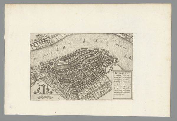
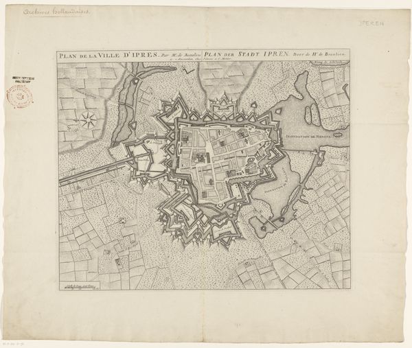
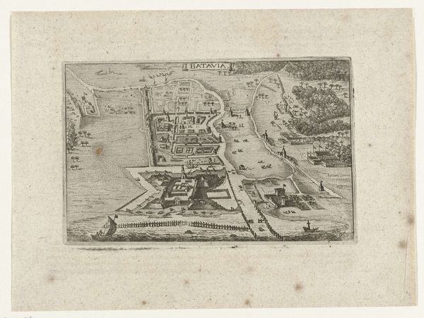
Editor: This is a print from 1632 entitled "Plattegrond van Rotterdam" made by an anonymous artist, currently at the Rijksmuseum. The level of detail is quite striking, with all the small buildings and the ships sailing by. What do you see in this piece? Curator: As a historian, I’m immediately drawn to what this map reveals about Rotterdam's place within the Dutch Golden Age. These city maps weren’t simply neutral depictions, but functioned as powerful tools in shaping civic identity and projecting economic might. What do you think about the prominent placement of ships? Editor: I noticed them right away. They definitely speak to the city's maritime importance. But, how accurate were these maps intended to be, or was accuracy secondary to portraying a certain image? Curator: That's the crucial question! While they aimed for a degree of topographical precision, these prints were also carefully crafted to emphasize a city's prosperity and order. Note how the walls seem impenetrable and the urban space, although dense, is impeccably planned. Maps presented Rotterdam as a bastion of trade and stability. Editor: So it was a sort of public relations piece, intended for both domestic and international consumption? Curator: Precisely! They played a role in attracting merchants, investors, and even skilled laborers. How do you think something like this might be different if it was a modern-day advertisement for Rotterdam? Editor: Well, I guess today, they’d highlight technology and multiculturalism in addition to maritime power. It really does show how cities use visual representation to construct and promote particular narratives about themselves! Curator: Indeed! Examining maps as instruments of power sheds light on how societies choose to represent themselves. A truly illuminating piece.
Comments
No comments
Be the first to comment and join the conversation on the ultimate creative platform.
More like this