drawing, print, ink, engraving
#
drawing
#
dutch-golden-age
# print
#
ink
#
cityscape
#
engraving
Dimensions: height 158 mm, width 234 mm
Copyright: Rijks Museum: Open Domain
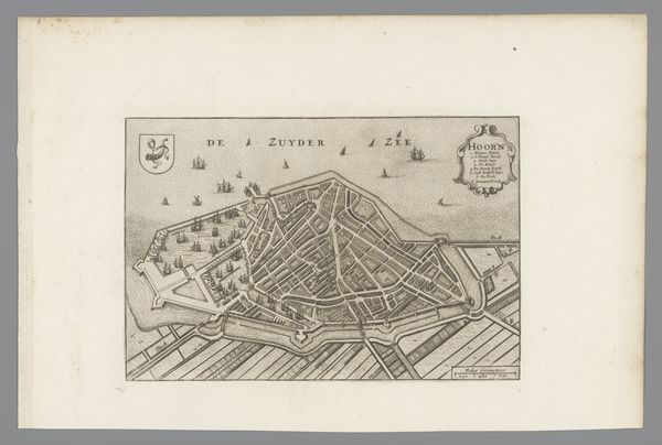
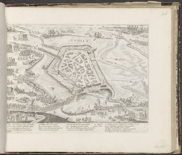
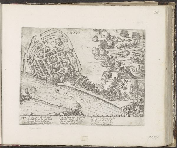
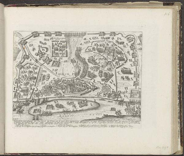
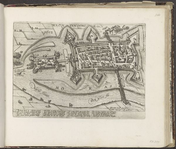
This is an anonymous print of Geertruidenberg, made at an unknown date and now held at the Rijksmuseum. What we see here is a bird’s eye view of a fortified town in the Netherlands, surrounded by waterways crucial for trade and defense. The star-shaped layout of the fortress reflects a period of intense military engineering, designed to withstand sieges. Maps like these weren't just geographical tools, they were powerful statements of ownership and control, reflecting the economic and political tensions of the time. Produced in a period of Dutch expansion, this print embodies the intersection of cartography, military strategy, and national identity. Understanding it requires looking into the archives of military history, trade records, and the urban planning documents of the Dutch Golden Age. Only through such detailed research can we fully appreciate the complex social and institutional forces at play.
Comments
No comments
Be the first to comment and join the conversation on the ultimate creative platform.
More like this