Dimensions: height 501 mm, width 577 mm
Copyright: Rijks Museum: Open Domain
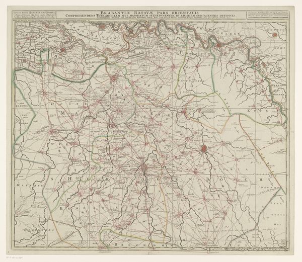
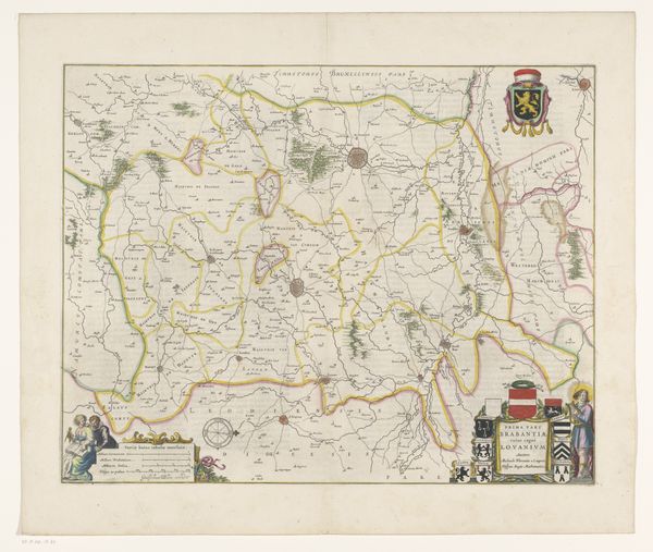
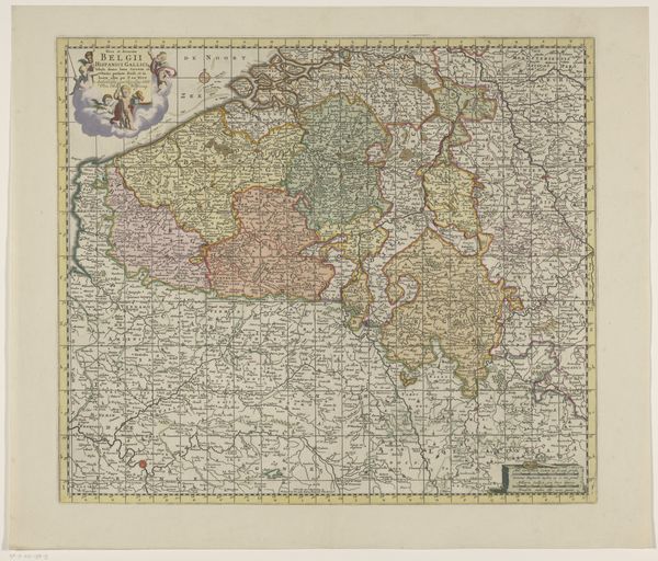
This map of the Duchy of Silesia was made anonymously, using the technique of engraving. Notice how the lines delineate not only geographical features, but also create a sense of depth and texture, particularly in the mountain ranges. The engraver would have used a tool called a burin to carve these lines into a copper plate. Ink would then be applied to the plate, and the excess wiped away, leaving ink only in the carved lines. The image is transferred to paper under great pressure. Engraving was a highly skilled craft, requiring years of training. In its time, this map would have been a valuable commodity, a tool for governance, trade, and military strategy. The act of mapping itself is deeply intertwined with power, control, and the commodification of land. So, what appears at first glance to be a straightforward representation of territory is, in fact, a carefully constructed artifact, laden with social and political meaning.
Comments
No comments
Be the first to comment and join the conversation on the ultimate creative platform.
More like this